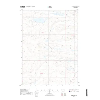
2017 Map of Hyannis South
USGS Topo · Published 2017About this map
The southern periphery of Hyannis transitions into a high-plains landscape defined by numerous natural basins and isolated ranch roads. In this region of the Nebraska Sandhills, the geography is marked by a series of distinct water bodies such as George Lake, Sears Lake, and the evaporative Alkali Lake. These features, alongside Cricket Lake, reflect the complex hydrology of the area, where the water table interacts with the dune topography.
Find a feature on this map
19 named features on this map. Tap any name to fly to it.
Don’t see what you’re looking for? This feature index may not catch every label — zoom into the map to look around manually.
Map Details
Editions of this 2017 Hyannis South Map
This is the sole edition of this map. No revisions or reprints were ever made.
Other maps of this area

1948 · Ashby
USGS Topo · 1:62,500

1948 · George Lake
USGS Topo · 1:62,500

1948 · Whitman
USGS Topo · 1:62,500

1948 · Spring Valley
USGS Topo · 1:62,500

1949 · Ashby
USGS Topo · 1:62,500

1950 · Spring Valley
USGS Topo · 1:62,500

1950 · Whitman
USGS Topo · 1:62,500

1950 · George Lake
USGS Topo · 1:62,500

1954 · North Platte
USGS Topo · 1:250,000

1956 · North Platte
USGS Topo · 1:250,000