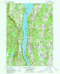
1980 Map of Hyde Park
USGS Topo · Published 1981About this map
The Hudson River serves as the central artery for this Hudson Valley corridor, dividing Ulster Co to the west from Dutchess Co to the east. On the eastern shore, the landscape is defined by sprawling institutional and memorial estates, most notably the F D Roosevelt Home National Historic Site and the adjacent Tomb. The river crossing is marked by hazards and aids to navigation like Esopus Meadows Lighthouse and the prominent Crum Elbow Point.
Find a feature on this map
64 named features on this map. Tap any name to fly to it.
Don’t see what you’re looking for? This feature index may not catch every label — zoom into the map to look around manually.
Map Details
Editions of this 1980 Hyde Park Map
2 editions found
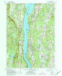
Other maps of this area

1893 · Poughkeepsie
USGS Topo · 1:62,500

1894 · Poughkeepsie
USGS Topo · 1:62,500

1898 · Rhinebeck
USGS Topo · 1:62,500

1901 · Rosendale
USGS Topo · 1:62,500

1903 · Poughkeepsie
USGS Topo · 1:62,500

1903 · Newburg
USGS Topo · 1:62,500

1903 · Rosendale
USGS Topo · 1:62,500

1934 · Rhinebeck
USGS Topo · 1:48,000

1936 · Poughkeepsie
USGS Topo · 1:48,000

1939 · Rhinebeck
USGS Topo · 1:62,500