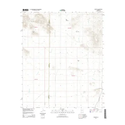
2014 Map of Hyder NE
USGS Topo · Published 2014About this map
The Gila Bend Mountains dominate the northern landscape of this arid reach, where the boundary between Yuma and Maricopa counties cuts through a series of dramatic landforms. In the northwest, the Picacho Hills and a Natural Arch define a rugged section of the range, giving way to the prominent Black Mtn. To the east, the terrain opens into Copper Valley, an area shaped by the seasonal drainage of Copper Wash.
Find a feature on this map
15 named features on this map. Tap any name to fly to it.
Don’t see what you’re looking for? This feature index may not catch every label — zoom into the map to look around manually.
Map Details
Editions of this 2014 Hyder NE Map
This is the sole edition of this map. No revisions or reprints were ever made.
Other maps of this area

1927 · Hyder
USGS Topo · 1:62,500

1930 · Hyder
USGS Topo · 1:62,500

1942 · Vicksburg
USGS Topo · 1:250,000

1951 · Dendora Valley
USGS Topo · 1:62,500

1954 · Phoenix
USGS Topo · 1:250,000

1957 · Phoenix
USGS Topo · 1:250,000

1958 · Phoenix
USGS Topo · 1:250,000

1960 · Phoenix
USGS Topo · 1:250,000

1962 · Cortez Peak
USGS Topo · 1:62,500

1962 · Eagletail Mts
USGS Topo · 1:62,500