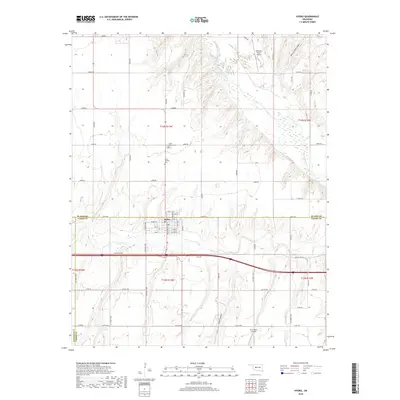
2022 Map of Hydro
USGS Topo · Published 2022About this map
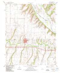
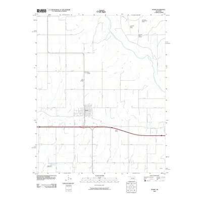
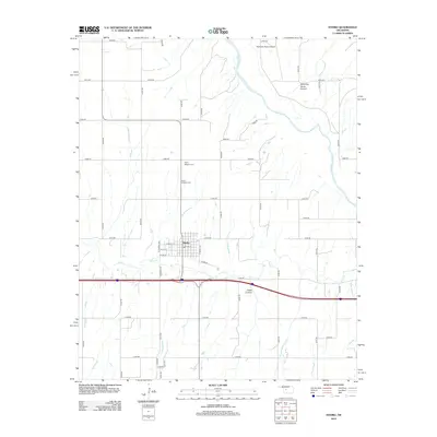
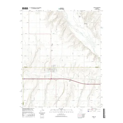
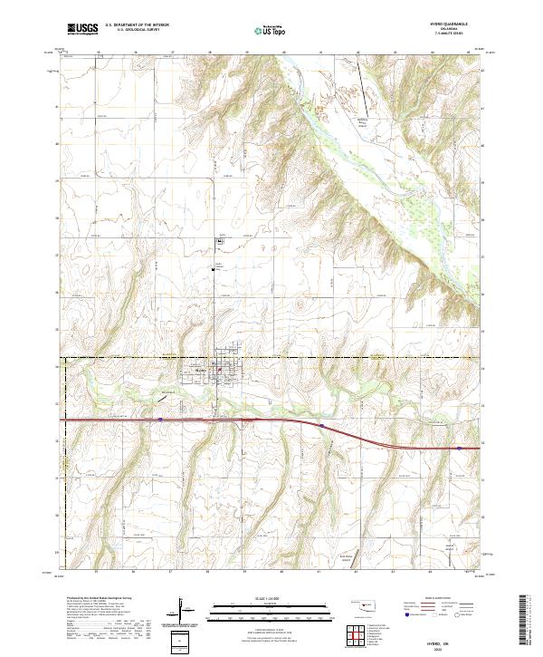
Hydro serves as the focal point of this Caddo County landscape, situated where the historic Old Us Hwy 66 cuts across the plains. The town's grid is detailed with street names like W Main St and 4th St, while its community history is preserved at the Hydro Masonic Cem and Hydro Catholic Cem north of the center. The surrounding terrain is defined by the winding course of the Canadian River and its tributaries, including Deer Cr, which have carved deep features like American Horse Canyon and Cedar Canyon into the red soil. The area maintains a strong connection to private aviation, evidenced by several landing strips including McKinley Ranch Airport, Kits Airport, and Lawles Airport. This 2022 survey illustrates the enduring intersection of historic Route 66 commerce and rural agricultural life at the Blaine and Caddo county lines.
Find a feature on this map
62 named features on this map. Tap any name to fly to it.
Don’t see what you’re looking for? This feature index may not catch every label — zoom into the map to look around manually.
Map Details
Editions of this 2022 Hydro Map
This is the sole edition of this map. No revisions or reprints were ever made.
Historical Maps of Hydro Through Time
6 maps found