
1979 Map of Greenfield
USGS Topo · Published 1979About this map
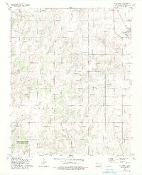
Greenfield sits at the northeastern corner of this 1970s landscape, positioned along the Chicago Rock Island and Pacific railroad line. The terrain transitions from the agricultural plateaus of Dixon and Lincoln townships into the more dissected drainage basins of the south. This area is defined by a network of waterways including Horse Creek and Lariat Creek, which cut through the land as they move toward the Canadian border.
Find a feature on this map
19 named features on this map. Tap any name to fly to it.
Don’t see what you’re looking for? This feature index may not catch every label — zoom into the map to look around manually.
Map Details
Editions of this 1979 Greenfield Map
2 editions found
Other maps of this area

1942 · Geary
USGS Topo · 1:62,500

1955 · Clinton
USGS Topo · 1:250,000

1957 · Clinton
USGS Topo · 1:250,000

1964 · Oakwood
USGS Topo · 1:62,500

1964 · Weatherford
USGS Topo · 1:62,500

1972 · Watonga
USGS Topo · 1:24,000

1972 · Watonga SE
USGS Topo · 1:24,000
1979 · Geary North
USGS Topo · 1:24,000
1979 · Geary South
USGS Topo · 1:24,000
1979 · Bridgeport
USGS Topo · 1:24,000