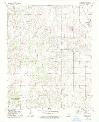
1979 Map of Greenfield
USGS Topo · Published 1979About this map
Greenfield serves as the primary hub of this Blaine County landscape, situated along the Chicago Rock Island and Pacific railroad line. The map captures a rural Oklahoma setting defined by a network of drainage systems, including Horse Creek and Lariat Creek, which carve through the terrain. To the south, the American Horse Lake State Hunting and Fishing Area surrounds American Horse Lake, indicating the importance of managed natural spaces for recreation and conservation during the late 1970s.
Find a feature on this map
21 named features on this map. Tap any name to fly to it.
Don’t see what you’re looking for? This feature index may not catch every label — zoom into the map to look around manually.
Map Details
Editions of this 1979 Greenfield Map
2 editions found
Other maps of this area

1942 · Geary
USGS Topo · 1:62,500

1955 · Clinton
USGS Topo · 1:250,000

1957 · Clinton
USGS Topo · 1:250,000

1964 · Oakwood
USGS Topo · 1:62,500

1964 · Weatherford
USGS Topo · 1:62,500

1972 · Watonga
USGS Topo · 1:24,000

1972 · Watonga SE
USGS Topo · 1:24,000
1979 · Geary North
USGS Topo · 1:24,000
1979 · Geary South
USGS Topo · 1:24,000

1979 · Greenfield
USGS Topo · 1:24,000