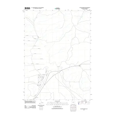
2012 Map of Hylton Ranch
USGS Topo · Published 2012About this map
Hylton Ranch occupies a central position within this Converse County landscape, situated near a complex network of residential and ranch roads. The terrain is marked by distinctive elevations such as Top of the World and Monkey Hill, while the ephemeral drainage of Sand Cr carves through the central corridor. This 2012 survey illustrates a transition in land use, where traditional ranching properties like the SS Ranch Rd area coexist with a more modern grid of local access ways. The southern portion of the map reveals a dense concentration of named roads, including Farrar Rd, Rimrock Rd, and S Badger Rd, suggesting a growing rural-residential character. Genealogists and local historians can use these specific road names and landmarks to pinpoint former homesteads and property boundaries in this high-plains environment.
Find a feature on this map
29 named features on this map. Tap any name to fly to it.
Don’t see what you’re looking for? This feature index may not catch every label — zoom into the map to look around manually.
Map Details
Editions of this 2012 Hylton Ranch Map
This is the sole edition of this map. No revisions or reprints were ever made.
Other maps of this area

1949 · Careyhurst
USGS Topo · 1:24,000

1949 · Parkerton
USGS Topo · 1:24,000

1949 · Glenrock
USGS Topo · 1:24,000

1949 · Leuenberger Ranch
USGS Topo · 1:24,000

1949 · Glenrock NW
USGS Topo · 1:24,000

1949 · Hylton Ranch
USGS Topo · 1:24,000

1950 · Careyhurst
USGS Topo · 1:24,000

1950 · Leuenberger Ranch
USGS Topo · 1:24,000

1950 · Parkerton
USGS Topo · 1:24,000

1950 · Glenrock NW
USGS Topo · 1:24,000