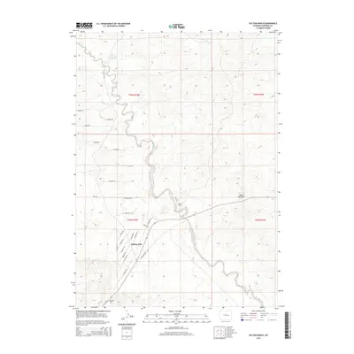
2015 Map of Hylton Ranch
USGS Topo · Published 2015About this map
Rolling Hills occupies the southwestern corner of this Converse County landscape, where a dense network of residential streets named for local wildlife—such as Cougar Rd, S Bobcat Rd, and S Badger Rd—marks recent growth near the older ranching tracts. North and east of the settlement, the terrain opens into the expansive ranchlands characteristic of the region, anchored by the Hylton Ranch along the winding course of Sand Cr.
Find a feature on this map
34 named features on this map. Tap any name to fly to it.
Don’t see what you’re looking for? This feature index may not catch every label — zoom into the map to look around manually.
Map Details
Editions of this 2015 Hylton Ranch Map
This is the sole edition of this map. No revisions or reprints were ever made.
Other maps of this area

1949 · Careyhurst
USGS Topo · 1:24,000

1949 · Parkerton
USGS Topo · 1:24,000

1949 · Glenrock
USGS Topo · 1:24,000

1949 · Leuenberger Ranch
USGS Topo · 1:24,000

1949 · Glenrock NW
USGS Topo · 1:24,000

1949 · Hylton Ranch
USGS Topo · 1:24,000

1950 · Careyhurst
USGS Topo · 1:24,000

1950 · Leuenberger Ranch
USGS Topo · 1:24,000

1950 · Parkerton
USGS Topo · 1:24,000

1950 · Glenrock NW
USGS Topo · 1:24,000