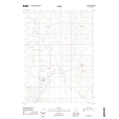
2017 Map of Hylton Ranch
USGS Topo · Published 2017About this map
Rolling Hills occupies the southwestern quadrant of this Converse County survey, situated at a junction of numerous local roads such as Roundup Rd and S Bobcat Rd. The landscape is defined by the winding course of Sand Creek, which cuts through the central and southern portions of the territory near the Hylton Ranch. To the north and east, the terrain becomes increasingly complex, marked by distinct topographical features like Monkey Hill and the appropriately named Top of the World. The road network is particularly dense around the residential core of the town, featuring family-named routes like Stoner Rd and Lounsberry Rd, alongside more descriptive paths including Glenrock Ross Rd. This map captures the transition from structured town planning to the open ranch land typical of this Wyoming high plains region.
Find a feature on this map
30 named features on this map. Tap any name to fly to it.
Don’t see what you’re looking for? This feature index may not catch every label — zoom into the map to look around manually.
Map Details
Editions of this 2017 Hylton Ranch Map
This is the sole edition of this map. No revisions or reprints were ever made.
Other maps of this area

1949 · Careyhurst
USGS Topo · 1:24,000

1949 · Parkerton
USGS Topo · 1:24,000

1949 · Glenrock
USGS Topo · 1:24,000

1949 · Leuenberger Ranch
USGS Topo · 1:24,000

1949 · Glenrock NW
USGS Topo · 1:24,000

1949 · Hylton Ranch
USGS Topo · 1:24,000

1950 · Careyhurst
USGS Topo · 1:24,000

1950 · Leuenberger Ranch
USGS Topo · 1:24,000

1950 · Parkerton
USGS Topo · 1:24,000

1950 · Glenrock NW
USGS Topo · 1:24,000