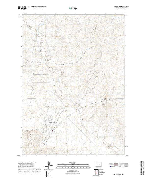
2021 Map of Hylton Ranch
USGS Topo · Published 2021About this map
Rolling Hills occupies the southwestern quadrant of this Converse County survey, exhibiting a residential street pattern that stands in sharp contrast to the surrounding ranchland. Named roads such as Lounsberry Rd, Farrar Rd, and Stoner Rd weave through the landscape, indicating the modern subdivision of traditional Wyoming range. The terrain transitions from these residential clusters toward the more isolated Hylton Ranch to the east.
Find a feature on this map
31 named features on this map. Tap any name to fly to it.
Don’t see what you’re looking for? This feature index may not catch every label — zoom into the map to look around manually.
Map Details
Editions of this 2021 Hylton Ranch Map
This is the sole edition of this map. No revisions or reprints were ever made.
Other maps of this area

1949 · Careyhurst
USGS Topo · 1:24,000

1949 · Parkerton
USGS Topo · 1:24,000

1949 · Glenrock
USGS Topo · 1:24,000

1949 · Leuenberger Ranch
USGS Topo · 1:24,000

1949 · Glenrock NW
USGS Topo · 1:24,000

1949 · Hylton Ranch
USGS Topo · 1:24,000

1950 · Careyhurst
USGS Topo · 1:24,000

1950 · Leuenberger Ranch
USGS Topo · 1:24,000

1950 · Parkerton
USGS Topo · 1:24,000

1950 · Glenrock NW
USGS Topo · 1:24,000