
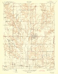
1943 Map of Hymera
USGS Topo · Published 1943About this map
The coal-rich landscape of Sullivan County, Indiana, is defined here by the extensive presence of Strip Mine operations and named underground works such as the Peerless Mine and Baker Mine. During the early 1940s, the community of Hymera served as a central hub for this extraction economy, supported by the Chicago Milwaukee St Paul and Pacific and Chicago and Eastern Illinois railroads. The map reveals a dense network of local landmarks, including many family-named churches like Palmers Prairie Ch and Sugar Grove Ch, alongside rural schoolhouses like Gilmour Sch. To the east, the recreational landscape of Shakamak State Park begins to emerge, contrasting with the industrial character of the surrounding townships. Topographical details such as the Alum Caves and several Artesian Wells near the Busseron Creek drainage provide a unique view into the region's natural hydrology and geology.
Find a feature on this map
43 named features on this map. Tap any name to fly to it.
Don’t see what you’re looking for? This feature index may not catch every label — zoom into the map to look around manually.
Map Details
Editions of this 1943 Hymera Map
2 editions found
Other maps of this area

1908 · Clay City
USGS Topo · 1:48,000

1910 · Clay City
USGS Topo · 1:62,500

1940 · Lewis
USGS Topo · 1:24,000

1940 · Linton
USGS Topo · 1:24,000

1940 · Jasonville
USGS Topo · 1:24,000

1940 · Pimento
USGS Topo · 1:24,000

1942 · Shelburn
USGS Topo · 1:24,000

1943 · Sullivan
USGS Topo · 1:24,000

1943 · Dugger
USGS Topo · 1:24,000

1947 · Linton
USGS Topo · 1:24,000