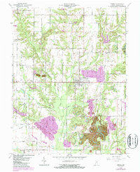
1963 Map of Hymera
USGS Topo · Published 1987About this map
The town of Hymera serves as the central hub of this Indiana landscape, situated within a region defined by agricultural grids and significant industrial alteration. By the mid-20th century, the landscape shows a clear divide between the established settlements of Farmersburg and Wilfred and the extensive Strip Mine operations that dominate the southeastern corner. These mining areas, indicated by distinctive topographic purple-shaded revisions from the early 1980s, reveal the transformation of the earth near Greenville and along the Big Branch. The presence of numerous rural institutions, such as Nye Chapel, Shiloh Ch, and the Knights of Columbus Cem, provides a detailed record for genealogists tracing family roots near the border of Shakamak State Park. Waterways like Busseron Creek and Sulphur Creek wind through the township lines of Jackson and Cass, marking the natural drainage patterns of Sullivan County.
Find a feature on this map
49 named features on this map. Tap any name to fly to it.
Don’t see what you’re looking for? This feature index may not catch every label — zoom into the map to look around manually.
Map Details
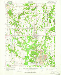
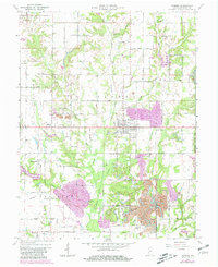
Editions of this 1963 Hymera Map
Other maps of this area

1908 · Clay City
USGS Topo · 1:48,000

1910 · Clay City
USGS Topo · 1:62,500

1940 · Lewis
USGS Topo · 1:24,000

1940 · Linton
USGS Topo · 1:24,000

1940 · Jasonville
USGS Topo · 1:24,000

1940 · Pimento
USGS Topo · 1:24,000

1942 · Shelburn
USGS Topo · 1:24,000

1943 · Hymera
USGS Topo · 1:24,000

1943 · Sullivan
USGS Topo · 1:24,000

1943 · Dugger
USGS Topo · 1:24,000