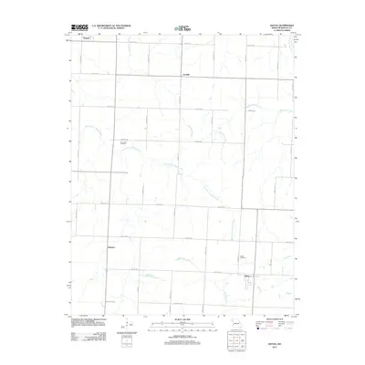
2011 Map of Iantha
USGS Topo · Published 2011About this map
Iantha and the surrounding rural townships in Barton County are defined by a grid of section roads and the winding paths of several waterways. The agricultural landscape is bisected by the West Fork River and the East Fork Dry Wood Creek, which converge as they move through the territory. Small community hubs like Wimmer, Verdella, and Hannon serve as reference points for the area's residents, reflecting the late 20th and early 21st-century settlement patterns of Western Missouri.
Find a feature on this map
29 named features on this map. Tap any name to fly to it.
Don’t see what you’re looking for? This feature index may not catch every label — zoom into the map to look around manually.
Map Details
Editions of this 2011 Iantha Map
This is the sole edition of this map. No revisions or reprints were ever made.
Other maps of this area

1884 · Fort Scott
USGS Topo · 1:125,000

1886 · Nevada
USGS Topo · 1:125,000

1886 · Joplin
USGS Topo · 1:125,000

1886 · Fort Scott
USGS Topo · 1:125,000

1886 · Carthage
USGS Topo · 1:125,000

1893 · Fort Scott
USGS Topo · 1:125,000

1894 · Nevada
USGS Topo · 1:125,000

1894 · Joplin
USGS Topo · 1:125,000

1894 · Carthage
USGS Topo · 1:125,000

1945 · Pittsburg
USGS Topo · 1:62,500