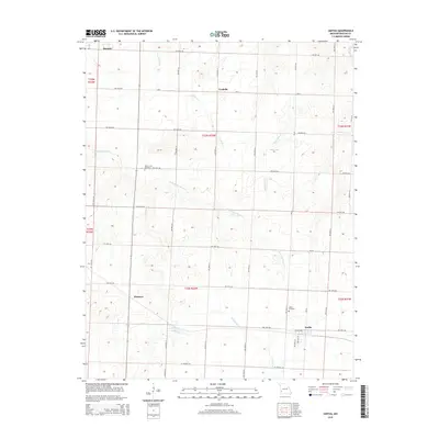
2015 Map of Iantha
USGS Topo · Published 2015About this map
The agrarian landscape of Barton County is defined by a grid of rural routes and the wandering paths of the W Fork River and its tributaries. Small communities such as Iantha and Verdella anchor the local geography, while the smaller settlements of Hannon and Wimmer appear as crossroads in this 2015 survey. The map reveals a high density of water features for the region, including Comstock Cr, E Fork Dry Wood Cr, and Bucks Run Cr, which feed into local catchments like Mayo Lake and Logues Lake.
Find a feature on this map
28 named features on this map. Tap any name to fly to it.
Don’t see what you’re looking for? This feature index may not catch every label — zoom into the map to look around manually.
Map Details
Editions of this 2015 Iantha Map
This is the sole edition of this map. No revisions or reprints were ever made.
Other maps of this area
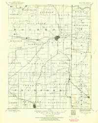
1884 · Fort Scott
USGS Topo · 1:125,000
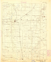
1886 · Nevada
USGS Topo · 1:125,000

1886 · Joplin
USGS Topo · 1:125,000
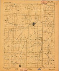
1886 · Fort Scott
USGS Topo · 1:125,000
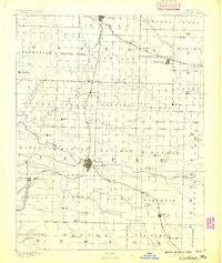
1886 · Carthage
USGS Topo · 1:125,000
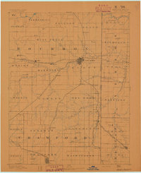
1893 · Fort Scott
USGS Topo · 1:125,000
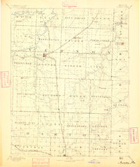
1894 · Nevada
USGS Topo · 1:125,000
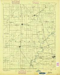
1894 · Joplin
USGS Topo · 1:125,000
1894 · Carthage
USGS Topo · 1:125,000
1945 · Pittsburg
USGS Topo · 1:62,500