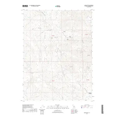
2018 Map of Iaqua Buttes
USGS Topo · Published 2018About this map
Lone Star Junction sits at the southern edge of this Humboldt County terrain, where the Lone Star Cr meets the larger drainage systems of northern California. The landscape is defined by its dramatic ridges and named peaks, such as Barry Ridge and the Iaqua Buttes, which overlook a network of steep drainages including Blue Slide Cr and Booths Run. The presence of the Kneeland Airport on a high plateau at Ashfield Ridge highlights how modern infrastructure adapts to this vertical environment.
Find a feature on this map
38 named features on this map. Tap any name to fly to it.
Don’t see what you’re looking for? This feature index may not catch every label — zoom into the map to look around manually.
Map Details
Editions of this 2018 Iaqua Buttes Map
This is the sole edition of this map. No revisions or reprints were ever made.
Other maps of this area

1922 · Eureka
USGS Topo · 1:62,500

1922 · Korbel
USGS Topo · 1:62,500

1922 · Kneeland
USGS Topo · 1:62,500

1933 · Eureka
USGS Topo · 1:48,000

1942 · Eureka
USGS Topo · 1:62,500

1944 · Fortuna
USGS Topo · 1:62,500

1945 · Blue Lake
USGS Topo · 1:62,500

1949 · Eureka
USGS Topo · 1:250,000

1950 · Iaqua Buttes
USGS Topo · 1:62,500

1951 · Eureka
USGS Topo · 1:62,500