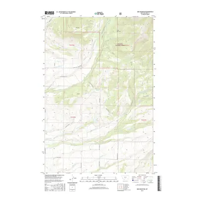
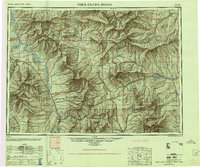
2017 Map of Ibex Mountain
USGS Topo · Published 2017About this map
Gallatin National Forest encompasses the high country of the Crazy Mountains in this 2017 survey of Park County. The landscape is defined by the prominent peaks of Ibex Mtn and Elk Mtn, which overlook a complex network of drainages including Cottonwood Cr, Hammond Cr, and Rock Cr. Below the forest boundary, the land transitions into a series of plateau-like formations such as Cottonwood Bench Rd and Robinson Bench Rd, reflecting the area's agricultural and ranching heritage.
Find a feature on this map
47 named features on this map. Tap any name to fly to it.
Don’t see what you’re looking for? This feature index may not catch every label — zoom into the map to look around manually.
Map Details
Editions of this 2017 Ibex Mountain Map
This is the sole edition of this map. No revisions or reprints were ever made.
Other maps of this area
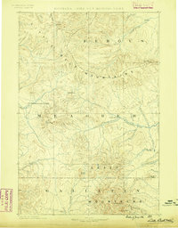
1886 · Little Belt Mts.
USGS Topo · 1:250,000
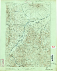
1891 · Livingston
USGS Topo · 1:250,000
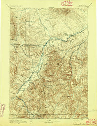
1893 · Livingston
USGS Topo · 1:250,000
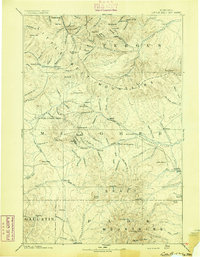
1894 · Little Belt Mts.
USGS Topo · 1:250,000
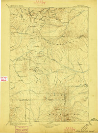
1897 · Little Belt Mts.
USGS Topo · 1:250,000
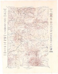
1898 · Little Belt Mts.
USGS Topo · 1:250,000
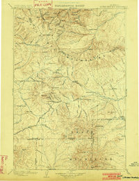
1902 · Little Belt Mts.
USGS Topo · 1:250,000

1947 · Bozeman
USGS Topo · 1:250,000

1948 · Bozeman
USGS Topo · 1:250,000
1948 · White Sulphur Springs
USGS Topo · 1:250,000