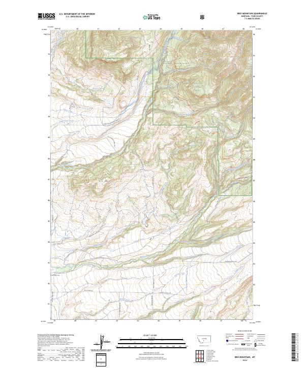
2024 Map of Ibex Mountain
USGS Topo · Published 2024About this map
Crazy Mountains dominate the northern landscape of this Park County survey, where the peaks of Ibex Mtn and Elk Mtn overlook a complex network of canyons and drainage systems. Much of the high ground is preserved within the Gallatin National Forest, characterized by steep contours and seasonal waterways like Basin Creek and Slippery Creek. The southern portion of the quadrangle transitions into a more managed agricultural landscape defined by significant water management projects.
Find a feature on this map
46 named features on this map. Tap any name to fly to it.
Don’t see what you’re looking for? This feature index may not catch every label — zoom into the map to look around manually.
Map Details
Editions of this 2024 Ibex Mountain Map
This is the sole edition of this map. No revisions or reprints were ever made.
Other maps of this area

1886 · Little Belt Mts.
USGS Topo · 1:250,000

1891 · Livingston
USGS Topo · 1:250,000

1893 · Livingston
USGS Topo · 1:250,000

1894 · Little Belt Mts.
USGS Topo · 1:250,000

1897 · Little Belt Mts.
USGS Topo · 1:250,000

1898 · Little Belt Mts.
USGS Topo · 1:250,000

1902 · Little Belt Mts.
USGS Topo · 1:250,000

1947 · Bozeman
USGS Topo · 1:250,000

1948 · Bozeman
USGS Topo · 1:250,000

1948 · White Sulphur Springs
USGS Topo · 1:250,000