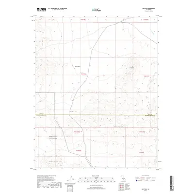
2018 Map of Ibex Pass
USGS Topo · Published 2018About this map
Death Valley National Park occupies the southwestern corner of this desert landscape, where the southern reaches of the Ibex Hills transition into the Saddle Peak Hills. This 2018 survey reveals a desolate corridor through the Mojave Desert centered on Ibex Pass, a critical topographic notch that allows passage between the higher elevations of Tecopa Peak and the surrounding basin. The drainage patterns of the Amargosa River and Tecopa Wash define the hydrology of the northeast, reflecting the ephemeral nature of water in this arid environment. Spanning the boundary between Inyo County and San Bernardino County, the map provides a contemporary record of the land divisions and remote terrain south of the town of Tecopa, illustrating how modern infrastructure follows these ancient natural gateways through the Sperry Hills.
Find a feature on this map
18 named features on this map. Tap any name to fly to it.
Don’t see what you’re looking for? This feature index may not catch every label — zoom into the map to look around manually.
Map Details
Editions of this 2018 Ibex Pass Map
This is the sole edition of this map. No revisions or reprints were ever made.
Other maps of this area

1933 · Avawatz Mountains
USGS Topo · 1:250,000

1947 · Trona
USGS Topo · 1:250,000

1948 · Trona
USGS Topo · 1:250,000
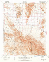
1948 · Avawatz Pass
USGS Topo · 1:62,500
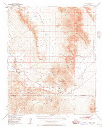
1950 · Tecopa
USGS Topo · 1:62,500
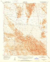
1951 · Avawatz Pass
USGS Topo · 1:62,500
1951 · Tecopa
USGS Topo · 1:62,500
1951 · Shoshone
USGS Topo · 1:62,500

1953 · Trona
USGS Topo · 1:250,000
1956 · Silurian Hills
USGS Topo · 1:62,500