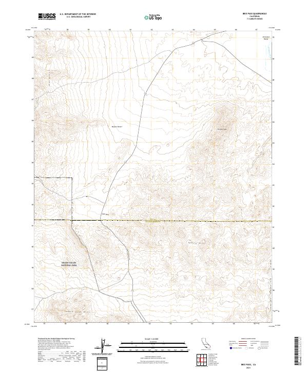
2021 Map of Ibex Pass
USGS Topo · Published 2021About this map
Ibex Pass serves as a critical desert corridor where Death Valley Rd cuts through the high ground between the Sperry Hills and the Ibex Hills. This arid landscape is defined by the stark transition across the Inyo Co San Bernardino Co line, with much of the southern terrain protected within Death Valley National Park. The topography here is dictated by the rugged elevations of the Amargosa Range and isolated heights like Tecopa Peak. Along the northeastern edge, the Amargosa Wild and Scenic River and the main channel of the Amargosa River provide a rare riparian thread through the Mojave Desert. The map documents the relationship between modern transit routes and the natural barriers of the Saddle Peak Hills, illustrating how the geography of the pass continues to dictate movement through this corner of California.
Find a feature on this map
12 named features on this map. Tap any name to fly to it.
Don’t see what you’re looking for? This feature index may not catch every label — zoom into the map to look around manually.
Map Details
Editions of this 2021 Ibex Pass Map
This is the sole edition of this map. No revisions or reprints were ever made.
Other maps of this area

1933 · Avawatz Mountains
USGS Topo · 1:250,000

1947 · Trona
USGS Topo · 1:250,000

1948 · Trona
USGS Topo · 1:250,000

1948 · Avawatz Pass
USGS Topo · 1:62,500

1950 · Tecopa
USGS Topo · 1:62,500

1951 · Avawatz Pass
USGS Topo · 1:62,500

1951 · Tecopa
USGS Topo · 1:62,500

1951 · Shoshone
USGS Topo · 1:62,500

1953 · Trona
USGS Topo · 1:250,000

1956 · Silurian Hills
USGS Topo · 1:62,500