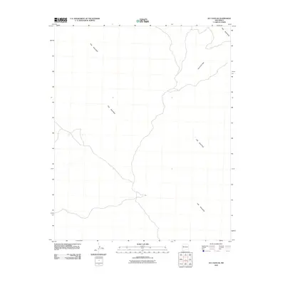
2010 Map of Ice Caves SE
USGS Topo · Published 2010About this map
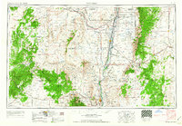
The Malpais dominates this landscape in Cibola County, where volcanic lava flows create a stark and distinctive geological pattern. This 2010 survey by the U.S. Geological Survey illustrates the intersection of these ancient terrain features with modern infrastructure and sparse settlements. The small community of York sits along a winding roadway that cuts through the southwestern portion of the sheet, providing a primary point of reference for local-history researchers studying this section of New Mexico. To the northeast, the curiously named Hole-In-The-Wall marks a break or passage within the lava fields, highlighting the unique topography that has shaped movement and settlement in this part of the high desert for generations.
Find a feature on this map
3 named features on this map. Tap any name to fly to it.
Don’t see what you’re looking for? This feature index may not catch every label — zoom into the map to look around manually.
Map Details
Editions of this 2010 Ice Caves SE Map
This is the sole edition of this map. No revisions or reprints were ever made.
Other maps of this area
1917 · Broom Mountain
USGS Topo · 1:125,000

1954 · Saint Johns
USGS Topo · 1:250,000

1954 · Socorro
USGS Topo · 1:250,000

1957 · Saint Johns
USGS Topo · 1:250,000

1958 · Socorro
USGS Topo · 1:250,000

1958 · Saint Johns
USGS Topo · 1:250,000
1961 · North Pasture
USGS Topo · 1:24,000
1961 · Arrosa Ranch
USGS Topo · 1:24,000
1962 · Socorro
USGS Topo · 1:250,000

1962 · Saint Johns
USGS Topo · 1:250,000