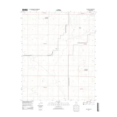
2013 Map of Ice Caves SE
USGS Topo · Published 2013About this map
El Malpais National Monument dominates this Cibola County landscape, preserving a vast volcanic region defined by its distinct geological formations. The survey highlights The Malpais, a literal "badlands" of basaltic flows that created a formidable barrier to early travel. Within this complex terrain, topographical features like Hole-In-The-Wall stand out as identifiable landmarks amidst the lava beds. The presence of York suggests more recent human activity or localized naming in a territory largely governed by the protected federal monument. The map provides a high-resolution view of the section lines and boundaries of T7N R11W and surrounding townships, illustrating the intersection of the Public Land Survey System with the irregular, natural borders of the ancient lava flows.
Find a feature on this map
10 named features on this map. Tap any name to fly to it.
Don’t see what you’re looking for? This feature index may not catch every label — zoom into the map to look around manually.
Map Details
Editions of this 2013 Ice Caves SE Map
This is the sole edition of this map. No revisions or reprints were ever made.
Other maps of this area
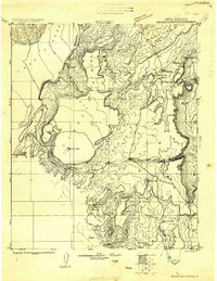
1917 · Broom Mountain
USGS Topo · 1:125,000

1954 · Saint Johns
USGS Topo · 1:250,000

1954 · Socorro
USGS Topo · 1:250,000

1957 · Saint Johns
USGS Topo · 1:250,000

1958 · Socorro
USGS Topo · 1:250,000

1958 · Saint Johns
USGS Topo · 1:250,000
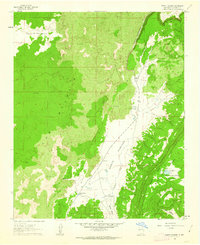
1961 · North Pasture
USGS Topo · 1:24,000
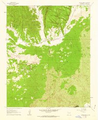
1961 · Arrosa Ranch
USGS Topo · 1:24,000
1962 · Socorro
USGS Topo · 1:250,000

1962 · Saint Johns
USGS Topo · 1:250,000