
1953 Map of Iceberg Canyon
USGS Topo · Published 1955About this map
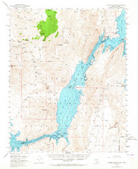
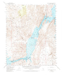
The waters of Lake Mead dominate this mid-century desert landscape, where the Colorado River winds through the narrow walls of Iceberg Canyon. This survey captures the region during a period of active mineral exploration, evidenced by a high density of remote mining sites such as the Nevada Mica Mine, Radio Crystal Mine, and Lakeshore Mine. The terrain is defined by dramatic elevations like Jumbo Peak and Gregg Peak, which loom over the deep inlets of Devils Cove and Grand Wash Bay. Evidence of earlier transit and isolated outposts remains visible through the Scanlon Dugway and a jeep trail crossing the Hiller Mountains. The map also documents the Nevada-Arizona state line and the Clark and Mohave county boundary as they bisect the submerged canyons and high ridges of the Indian Hills.
Find a feature on this map
85 named features on this map. Tap any name to fly to it.
Don’t see what you’re looking for? This feature index may not catch every label — zoom into the map to look around manually.
Map Details
Editions of this 1953 Iceberg Canyon Map
3 editions found
Other maps of this area

1886 · Diamond Creek
USGS Topo · 1:250,000

1886 · Camp Mohave
USGS Topo · 1:250,000

1886 · Saint Thomas
USGS Topo · 1:250,000

1886 · Mt. Trumbull
USGS Topo · 1:250,000

1892 · Diamond Creek
USGS Topo · 1:250,000

1892 · Mt. Trumbull
USGS Topo · 1:250,000

1892 · Camp Mohave
USGS Topo · 1:250,000

1893 · Saint Thomas
USGS Topo · 1:250,000

1926 · Bonelli
USGS Topo · 1:96,000

1942 · Camp Mohave
USGS Topo · 1:250,000