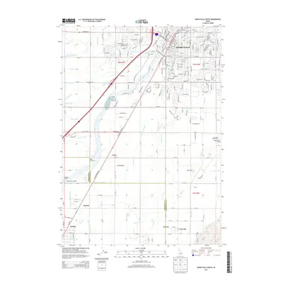
2013 Map of Idaho Falls South
USGS Topo · Published 2013About this map
Idaho Falls serves as the urban anchor in this 2013 survey, where the residential grids of the city transition into the industrial and agricultural landscape of the Snake River Valley. The region’s reliance on water is evidenced by a complex network of irrigation infrastructure, including the Great Western Canal, Porter Canal, and Idaho Canal, which draw from the Snake River to support the surrounding farmland. The Union Pacific rail line runs parallel to the river, connecting the city to outlying communities like Shelley and Cotton.
Find a feature on this map
215 named features on this map. Tap any name to fly to it.
Don’t see what you’re looking for? This feature index may not catch every label — zoom into the map to look around manually.
Map Details
Editions of this 2013 Idaho Falls South Map
This is the sole edition of this map. No revisions or reprints were ever made.
Other maps of this area

1924 · Ammon
USGS Topo · 1:62,500

1948 · Woodville
USGS Topo · 1:24,000

1948 · Idaho Falls North
USGS Topo · 1:24,000

1948 · Idaho Falls South
USGS Topo · 1:24,000

1948 · Ucon
USGS Topo · 1:24,000

1949 · Ucon
USGS Topo · 1:24,000

1949 · Idaho Falls North
USGS Topo · 1:24,000

1949 · Roberts
USGS Topo · 1:62,500

1949 · Shattuck Butte
USGS Topo · 1:24,000

1950 · Shattuck Butte
USGS Topo · 1:24,000