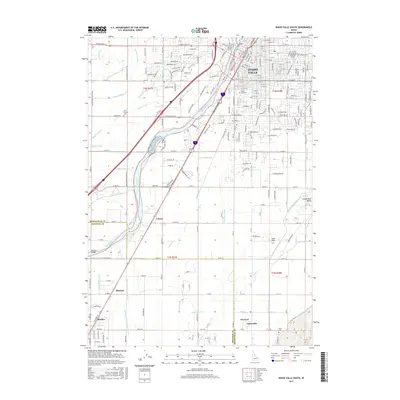
2017 Map of Idaho Falls South
USGS Topo · Published 2017About this map
The Snake River corridor south of Idaho Falls reveals a complex network of twentieth-century irrigation engineering and rural settlements. This 2017 survey shows the high density of water management infrastructure required for the region's agriculture, including the Great Western Canal, Bain Canal, Woodville Canal, and Idaho Canal. The irrigation patterns are anchored by established river crossings like the Bennett Bridge and the transportation spine of the Union Pacific railroad.
Find a feature on this map
240 named features on this map. Tap any name to fly to it.
Don’t see what you’re looking for? This feature index may not catch every label — zoom into the map to look around manually.
Map Details
Editions of this 2017 Idaho Falls South Map
This is the sole edition of this map. No revisions or reprints were ever made.
Other maps of this area

1924 · Ammon
USGS Topo · 1:62,500

1948 · Woodville
USGS Topo · 1:24,000

1948 · Idaho Falls North
USGS Topo · 1:24,000

1948 · Idaho Falls South
USGS Topo · 1:24,000

1948 · Ucon
USGS Topo · 1:24,000

1949 · Ucon
USGS Topo · 1:24,000

1949 · Idaho Falls North
USGS Topo · 1:24,000

1949 · Roberts
USGS Topo · 1:62,500

1949 · Shattuck Butte
USGS Topo · 1:24,000

1950 · Shattuck Butte
USGS Topo · 1:24,000