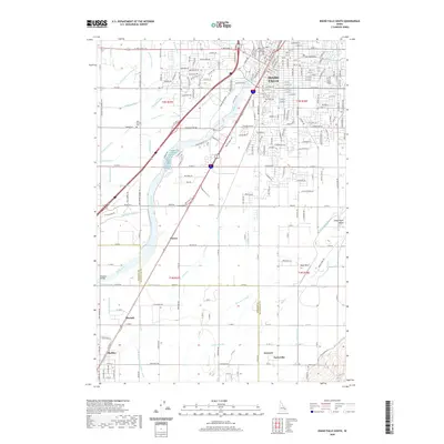
2020 Map of Idaho Falls South
USGS Topo · Published 2020About this map
Idaho Falls serves as the focal point of this survey, where the urban grid meets the extensive irrigation network of the upper Snake River Plain. The Snake River bisects the landscape, its flow diverted into an intricate system of waterways including the Great Western Canal, Butte Arm Canal, and German Canal. This infrastructure transformed the arid valley into a productive agricultural region, supporting outlying settlements like Shelley, Taylorville, and Mitchell. The influence of the Union Pacific railroad is evident, paralleling the river and anchoring the local economy. Genealogists will find significant value in the documentation of local burial grounds, including Rose Hill Cem, New Sweden Cem, and Taylor Cem, alongside civic landmarks such as the Bonneville County Courthouse. From the residential expansion near the Sand Hills to the rural expanses of Cotton, the map illustrates a region defined by its reliance on managed water.
Find a feature on this map
96 named features on this map. Tap any name to fly to it.
Don’t see what you’re looking for? This feature index may not catch every label — zoom into the map to look around manually.
Map Details
Editions of this 2020 Idaho Falls South Map
This is the sole edition of this map. No revisions or reprints were ever made.
Other maps of this area

1924 · Ammon
USGS Topo · 1:62,500

1948 · Woodville
USGS Topo · 1:24,000

1948 · Idaho Falls North
USGS Topo · 1:24,000

1948 · Idaho Falls South
USGS Topo · 1:24,000

1948 · Ucon
USGS Topo · 1:24,000

1949 · Ucon
USGS Topo · 1:24,000

1949 · Idaho Falls North
USGS Topo · 1:24,000

1949 · Roberts
USGS Topo · 1:62,500

1949 · Shattuck Butte
USGS Topo · 1:24,000

1950 · Shattuck Butte
USGS Topo · 1:24,000