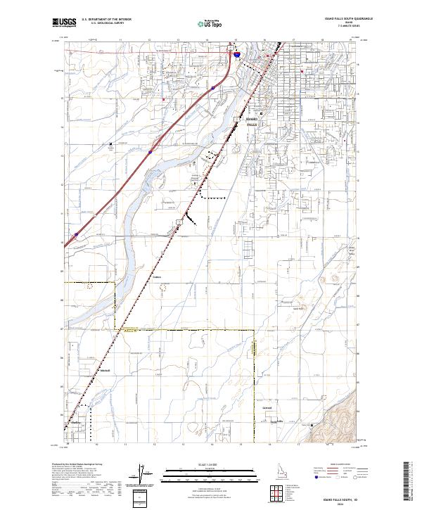
2024 Map of Idaho Falls South
USGS Topo · Published 2024About this map
The Snake River anchors this detailed study of the upper Snake River Plain, where the industrial and civic heart of Idaho Falls meets an intricate agricultural network. The landscape is defined by its sophisticated hydraulic engineering, featuring a dense grid of waterways including the Great Western Canal, Idaho Canal, and Butte Arm Canal. These systems historically transformed the semi-arid region into a productive farming belt, supporting rural communities such as Taylorville, Mitchell, and Gerrard.
Find a feature on this map
115 named features on this map. Tap any name to fly to it.
Don’t see what you’re looking for? This feature index may not catch every label — zoom into the map to look around manually.
Map Details
Editions of this 2024 Idaho Falls South Map
This is the sole edition of this map. No revisions or reprints were ever made.
Other maps of this area

1924 · Ammon
USGS Topo · 1:62,500

1948 · Woodville
USGS Topo · 1:24,000

1948 · Idaho Falls North
USGS Topo · 1:24,000

1948 · Idaho Falls South
USGS Topo · 1:24,000

1948 · Ucon
USGS Topo · 1:24,000

1949 · Ucon
USGS Topo · 1:24,000

1949 · Idaho Falls North
USGS Topo · 1:24,000

1949 · Roberts
USGS Topo · 1:62,500

1949 · Shattuck Butte
USGS Topo · 1:24,000

1950 · Shattuck Butte
USGS Topo · 1:24,000