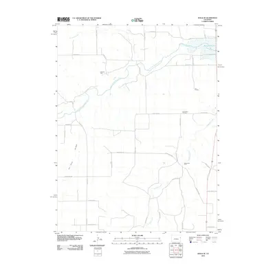
2010 Map of Idalia SE
USGS Topo · Published 2010About this map
South Fork Republican River and the eastern edge of Bonny Reservoir define this agricultural landscape in southeastern Yuma County. The map documents a sophisticated network of county roads that carve the high plains into a precise grid, facilitating access to remote landmarks like Spring Valley Ranch and the Kleweno Dam. This 2010 survey highlights the persistent rural infrastructure of the region, where water management is central to the land's utility. Genealogists and local historians will find the locations of the Delto Cemetery and Spring Valley Cemetery particularly useful for identifying family burial sites. The drainage patterns of Landsman Creek and North Sand Creek show the natural topography that underlies the man-made boundaries of the various county road systems, including County Rd RR and County Rd 49.
Find a feature on this map
33 named features on this map. Tap any name to fly to it.
Don’t see what you’re looking for? This feature index may not catch every label — zoom into the map to look around manually.
Map Details
Editions of this 2010 Idalia SE Map
This is the sole edition of this map. No revisions or reprints were ever made.
Other maps of this area
1950 · Bonny Reservoir
USGS Topo · 1:62,500

1954 · Limon
USGS Topo · 1:250,000

1957 · Limon
USGS Topo · 1:250,000

1958 · Limon
USGS Topo · 1:250,000
1968 · Bonny Reservoir North
USGS Topo · 1:24,000
1968 · Spring Canyon
USGS Topo · 1:24,000
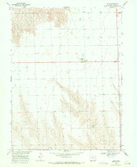
1968 · Idalia
USGS Topo · 1:24,000
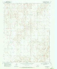
1969 · Settlement
USGS Topo · 1:24,000
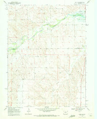
1969 · Idalia SE
USGS Topo · 1:24,000
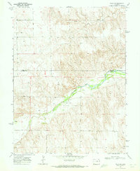
1969 · Idalia SW
USGS Topo · 1:24,000