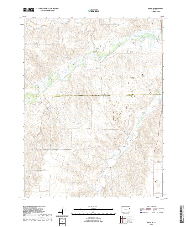
2022 Map of Idalia SE
USGS Topo · Published 2022About this map
The South Fork Republican River meanders across this High Plains landscape where Kit Carson and Yuma counties meet. This agricultural and ranching corridor is defined by a series of ephemeral drainages, including Landsman Creek and the headwaters of Dry Gulch, which carve into the terrain. The map reveals the precise section-line road network characteristic of the region, anchored by a series of county routes such as Co RD 44 and Co RD NN.
Find a feature on this map
30 named features on this map. Tap any name to fly to it.
Don’t see what you’re looking for? This feature index may not catch every label — zoom into the map to look around manually.
Map Details
Editions of this 2022 Idalia SE Map
This is the sole edition of this map. No revisions or reprints were ever made.
Other maps of this area

1950 · Bonny Reservoir
USGS Topo · 1:62,500

1954 · Limon
USGS Topo · 1:250,000

1957 · Limon
USGS Topo · 1:250,000

1958 · Limon
USGS Topo · 1:250,000

1968 · Bonny Reservoir North
USGS Topo · 1:24,000

1968 · Spring Canyon
USGS Topo · 1:24,000

1968 · Idalia
USGS Topo · 1:24,000

1969 · Settlement
USGS Topo · 1:24,000

1969 · Idalia SE
USGS Topo · 1:24,000

1969 · Idalia SW
USGS Topo · 1:24,000