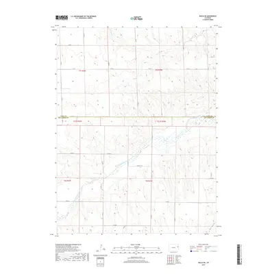
2019 Map of Idalia SW
USGS Topo · Published 2019About this map
The South Fork Republican River winds across this section of the High Plains, carving a distinct valley through the agricultural landscape of Eastern Colorado. In 2019, this area along the boundary of Yuma County and Kit Carson County reveals a highly organized township and range system, where a network of county roads like Co RD 2 and Co RD NN defines the property lines of rural homesteads and farms. The terrain is marked by seasonal drainages including N Sand Cr in the north and the deep incision of Dry Gulch near the southern border. This survey provides a precise look at the modern land use patterns in a region where water sources like the S Fork Republican River remain the primary geographical anchors for settlement and road orientation.
Find a feature on this map
33 named features on this map. Tap any name to fly to it.
Don’t see what you’re looking for? This feature index may not catch every label — zoom into the map to look around manually.
Map Details
Editions of this 2019 Idalia SW Map
This is the sole edition of this map. No revisions or reprints were ever made.
Other maps of this area

1954 · Limon
USGS Topo · 1:250,000

1957 · Limon
USGS Topo · 1:250,000

1958 · Limon
USGS Topo · 1:250,000
1968 · Spring Canyon
USGS Topo · 1:24,000
1968 · Adler Creek
USGS Topo · 1:24,000
1968 · Idalia
USGS Topo · 1:24,000
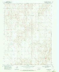
1969 · Settlement
USGS Topo · 1:24,000
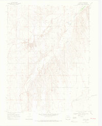
1969 · Tuttle
USGS Topo · 1:24,000
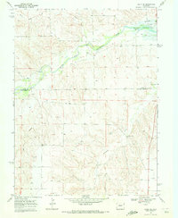
1969 · Idalia SE
USGS Topo · 1:24,000
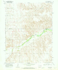
1969 · Idalia SW
USGS Topo · 1:24,000