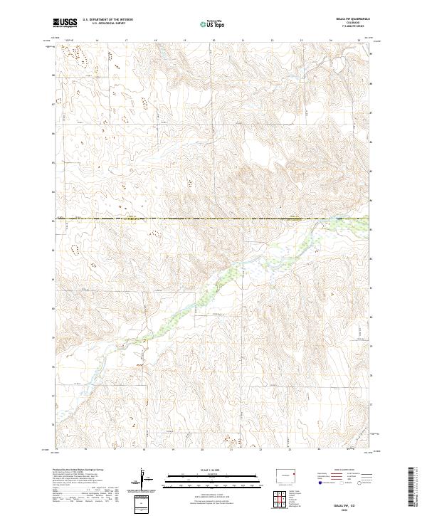
2022 Map of Idalia SW
USGS Topo · Published 2022About this map
The South Fork Republican River winds through the southern High Plains where the border of Kit Carson and Yuma counties meets. This landscape is defined by the ephemeral drainage of the S Fork Republican River and N Sand Cr, showcasing the intricate system of intermittent streams and coulees characteristic of eastern Colorado's arid terrain. The map captures a section of the American West where the rectangular land survey system dictates the geography, with a dense network of section-line roads like Co Rd Nn and Co Rd Ll providing access to the vast agricultural sections.
Find a feature on this map
32 named features on this map. Tap any name to fly to it.
Don’t see what you’re looking for? This feature index may not catch every label — zoom into the map to look around manually.
Map Details
Editions of this 2022 Idalia SW Map
This is the sole edition of this map. No revisions or reprints were ever made.
Other maps of this area

1954 · Limon
USGS Topo · 1:250,000

1957 · Limon
USGS Topo · 1:250,000

1958 · Limon
USGS Topo · 1:250,000

1968 · Spring Canyon
USGS Topo · 1:24,000

1968 · Adler Creek
USGS Topo · 1:24,000

1968 · Idalia
USGS Topo · 1:24,000

1969 · Settlement
USGS Topo · 1:24,000

1969 · Tuttle
USGS Topo · 1:24,000

1969 · Idalia SE
USGS Topo · 1:24,000

1969 · Idalia SW
USGS Topo · 1:24,000