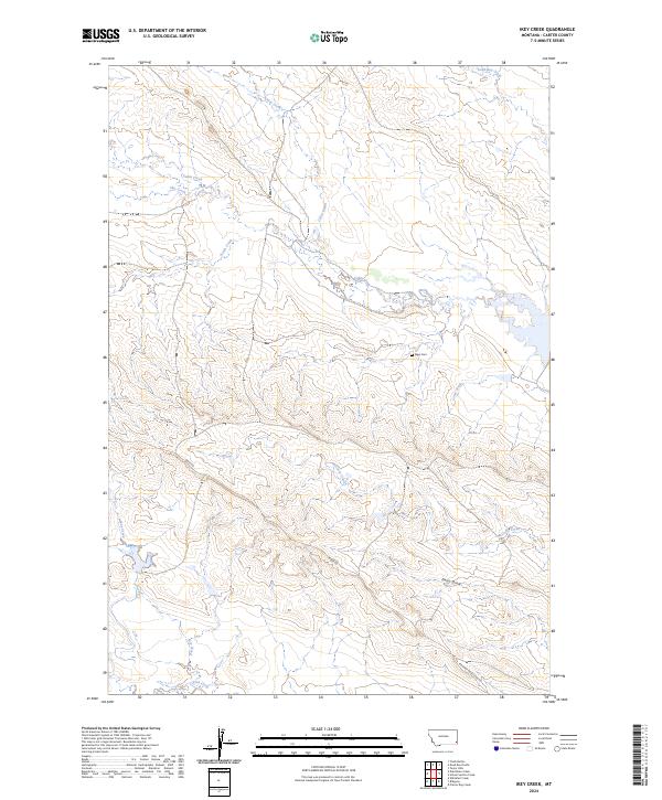
2024 Map of Ikey Creek
USGS Topo · Published 2024About this map
Chito Creek and Ikey Creek carve through this section of Carter County, Montana, revealing a landscape defined by its drainage systems and high ridges. The area is marked by a network of intermittent watercourses, including Dead Boy Creek and McCarty Creek, which drain the varied elevations of the backcountry. Evidence of early settlement is preserved at the Elgin Cem, a quiet historical landmark situated on a terrace near Lome Creek. Transportation across this terrain is facilitated by primitive routes such as Ridge Rd and the Ridgway Ridge Spur Rd, which follow the natural contours of the land. The map also details numerous small draws and creek forks, such as Ewalt Draw and Corral Creek, illustrating the complex topography of this rural region.
Find a feature on this map
19 named features on this map. Tap any name to fly to it.
Don’t see what you’re looking for? This feature index may not catch every label — zoom into the map to look around manually.
Map Details
Editions of this 2024 Ikey Creek Map
This is the sole edition of this map. No revisions or reprints were ever made.
Other maps of this area

1954 · Ekalaka
USGS Topo · 1:250,000

1956 · Ekalaka
USGS Topo · 1:250,000

1958 · Ekalaka
USGS Topo · 1:250,000

1965 · Ekalaka
USGS Topo · 1:250,000

1979 · Dutchman Creek
USGS Topo · 1:24,000

1979 · Dead Boy Divide
USGS Topo · 1:24,000

1979 · Ikey Creek
USGS Topo · 1:24,000

1979 · Chalk Buttes
USGS Topo · 1:24,000

1980 · Taylor Hills
USGS Topo · 1:24,000

1980 · Prairie Dog Creek
USGS Topo · 1:24,000