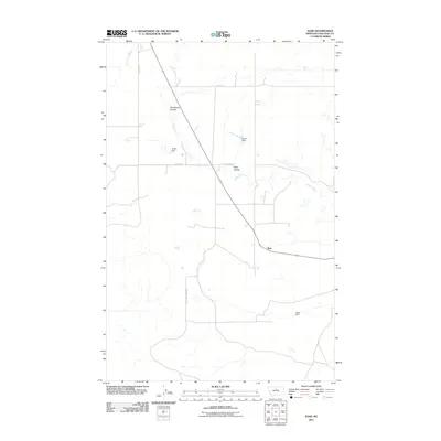
2011 Map of Iliad
USGS Topo · Published 2011About this map
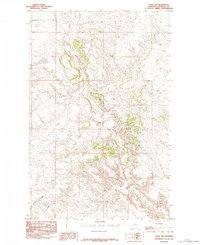
Iliad occupies a sparse landscape in Chouteau County, where the topography is defined by the winding course of Chip Creek and its tributary coulees. The map illustrates a high-plains environment characterized by open stretches and specialized water management features, including Tortilla Dam, Comet Dam, and Jappe Dam. These small-scale impoundments point to the area's agricultural reliance on capturing intermittent runoff in an arid region. The road network, including Eight Mile Bench Rd and the Iliad Loop, reveals how remote ranching outposts are interconnected across the benchlands. Notable landforms like Sandstone Coulee and Sage Coulee break the horizontal profile of the terrain, providing geographical landmarks in this northern Montana prairie.
Find a feature on this map
11 named features on this map. Tap any name to fly to it.
Don’t see what you’re looking for? This feature index may not catch every label — zoom into the map to look around manually.
Map Details
Editions of this 2011 Iliad Map
This is the sole edition of this map. No revisions or reprints were ever made.
Other maps of this area
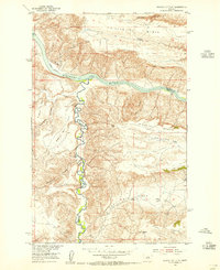
1953 · Starve Out Flat
USGS Topo · 1:24,000
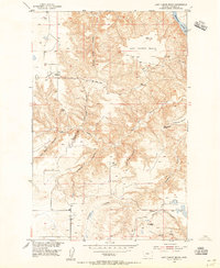
1953 · Last Chance Bench
USGS Topo · 1:24,000
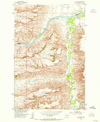
1954 · P N Ranch
USGS Topo · 1:24,000
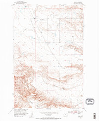
1954 · Iliad
USGS Topo · 1:24,000
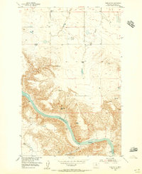
1954 · Dark Butte
USGS Topo · 1:24,000

1954 · Lewistown
USGS Topo · 1:250,000

1959 · Lewistown
USGS Topo · 1:250,000
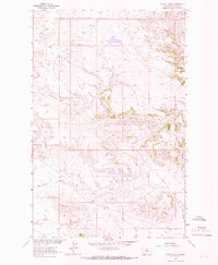
1964 · Pigtail Coulee
USGS Topo · 1:24,000
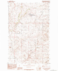
1984 · Seifort Reservoir
USGS Topo · 1:24,000
1984 · Eskay NW
USGS Topo · 1:24,000