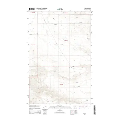
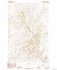
2014 Map of Iliad
USGS Topo · Published 2014About this map
Iliad serves as the central point in this northern Montana landscape, where the high plains are deeply incised by a network of drainage features. The terrain is defined by dramatic relief changes between elevated plains like Eightmile Bench and the carved paths of Sandstone Coulee and Clutchbaugh Coulee. This area of Chouteau County relies on a sparse grid of rural routes, including Judith Landing Rd and Eskay Rd, which navigate the contours of the land. Small watercourses such as Chip Cr wind through the township, feeding into the larger coulee systems that dominate the geography. The map reveals a remote ranching and agricultural region where the placement of roads and paths, like the Jappe Trl, is strictly dictated by the broken topography of Eightmile Coulee and its surrounding breaks.
Find a feature on this map
21 named features on this map. Tap any name to fly to it.
Don’t see what you’re looking for? This feature index may not catch every label — zoom into the map to look around manually.
Map Details
Editions of this 2014 Iliad Map
This is the sole edition of this map. No revisions or reprints were ever made.
Other maps of this area
1953 · Starve Out Flat
USGS Topo · 1:24,000
1953 · Last Chance Bench
USGS Topo · 1:24,000
1954 · P N Ranch
USGS Topo · 1:24,000
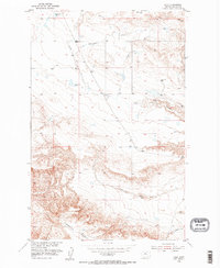
1954 · Iliad
USGS Topo · 1:24,000
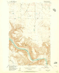
1954 · Dark Butte
USGS Topo · 1:24,000

1954 · Lewistown
USGS Topo · 1:250,000

1959 · Lewistown
USGS Topo · 1:250,000
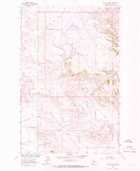
1964 · Pigtail Coulee
USGS Topo · 1:24,000
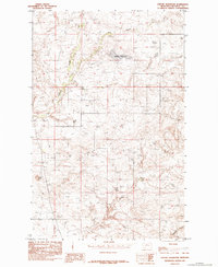
1984 · Seifort Reservoir
USGS Topo · 1:24,000
1984 · Eskay NW
USGS Topo · 1:24,000