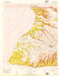
1952 Map of Ilio Point
USGS Topo · Published 1954About this map
Illio Pt and Laau Pt define the northwest corner of Molokai in this early 1950s survey, where the rugged volcanic landscape meets the Kaiwi Channel. The interior is characterized by deep drainage systems like Kakaako Gulch and Halena Gulch, while the coast is marked by the expansive Papohaku Beach. Human activity on the west end is concentrated around the settlement of Mauna Loa and its associated Mauna Loa Cem, reflecting the plantation-era heritage of the island.
Find a feature on this map
61 named features on this map. Tap any name to fly to it.
Don’t see what you’re looking for? This feature index may not catch every label — zoom into the map to look around manually.
Map Details
Editions of this 1952 Ilio Point Map
This is the sole edition of this map. No revisions or reprints were ever made.
Other maps of this area

1952 · Molokai Airport
USGS Topo · 1:24,000

1954 · Maui
USGS Topo · 1:250,000

1966 · Maui
USGS Topo · 1:250,000
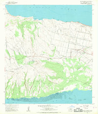
1968 · Molokai Airport
USGS Topo · 1:24,000
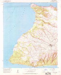
1968 · Ilio Point
USGS Topo · 1:24,000

1974 · Maui
USGS Topo · 1:250,000
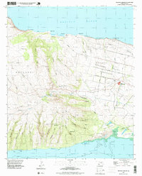
1993 · Molokai Airport
USGS Topo · 1:24,000
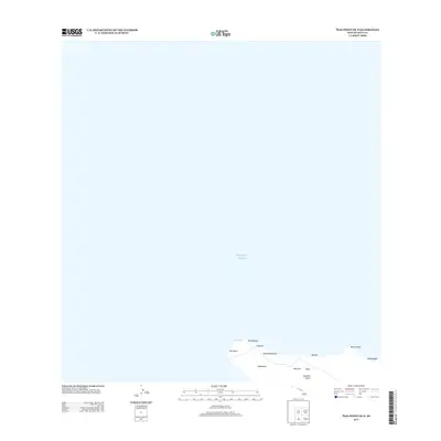
2013 · Ilio Point OE N
USGS Topo · 1:24,000
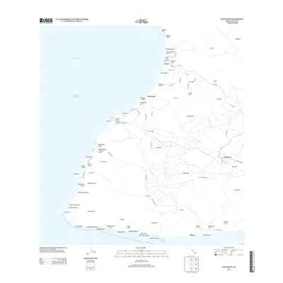
2013 · Ilio Point
USGS Topo · 1:24,000
2013 · Molokai Airport OE N
USGS Topo · 1:24,000