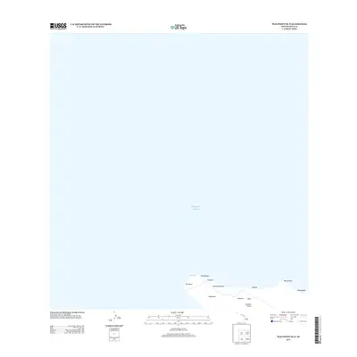
2013 Map of Ilio Point OE N
USGS Topo · Published 2013About this map
‘Īlio Point marks the northwestern-most reach of Moloka‘i on this coastal study of Hawaii's northern shores. The landscape is defined by the transition from the Pacific Ocean to a series of named coastal features and gulches. Inland from the point, the terrain rises toward Kaeo, with the drainage of Kawākiu Gulch cutting through the shoreline. Further east, the coastline is punctuated by Anapuka and Mokio Point, highlighting the series of inlets and promontories like Pueoao and Kawaihau that characterize this stretch of Maui County. This 2013 survey documents the precise names of the shoreline's physical geography, including Kealapūpūakiha and Kahenawai, providing a clear record of the island's littoral zone before more recent environmental changes.
Find a feature on this map
13 named features on this map. Tap any name to fly to it.
Don’t see what you’re looking for? This feature index may not catch every label — zoom into the map to look around manually.
Map Details
Editions of this 2013 Ilio Point OE N Map
This is the sole edition of this map. No revisions or reprints were ever made.
Other maps of this area

1952 · Molokai Airport
USGS Topo · 1:24,000
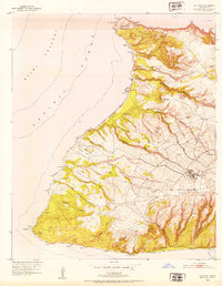
1952 · Ilio Point
USGS Topo · 1:24,000

1954 · Maui
USGS Topo · 1:250,000

1966 · Maui
USGS Topo · 1:250,000
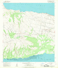
1968 · Molokai Airport
USGS Topo · 1:24,000
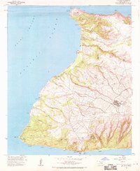
1968 · Ilio Point
USGS Topo · 1:24,000

1974 · Maui
USGS Topo · 1:250,000
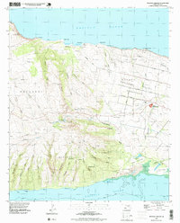
1993 · Molokai Airport
USGS Topo · 1:24,000
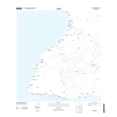
2013 · Ilio Point
USGS Topo · 1:24,000
2013 · Molokai Airport OE N
USGS Topo · 1:24,000