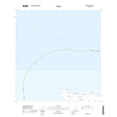
2017 Map of Ilio Point OE N
USGS Topo · Published 2017About this map
Moloka'i island meets the open waters of the Pacific Ocean at the northwestern tip of Maui County in this recent survey. The map centers on the prominent 'Ilio Point, a geographical landmark that separates the north coast from the waters of the Kaiwi Channel. This coastline is defined by its drainage features and coastal points, including the sharp drainage of Kawākiu Gulch and the elevation at Kaeo.
Find a feature on this map
15 named features on this map. Tap any name to fly to it.
Don’t see what you’re looking for? This feature index may not catch every label — zoom into the map to look around manually.
Map Details
Editions of this 2017 Ilio Point OE N Map
This is the sole edition of this map. No revisions or reprints were ever made.
Other maps of this area
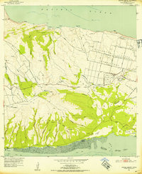
1952 · Molokai Airport
USGS Topo · 1:24,000
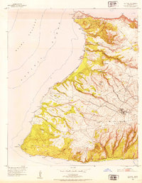
1952 · Ilio Point
USGS Topo · 1:24,000
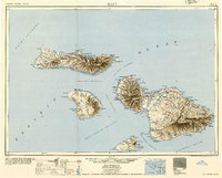
1954 · Maui
USGS Topo · 1:250,000
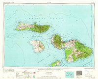
1966 · Maui
USGS Topo · 1:250,000
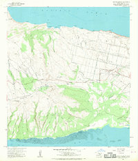
1968 · Molokai Airport
USGS Topo · 1:24,000
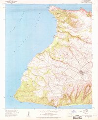
1968 · Ilio Point
USGS Topo · 1:24,000
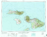
1974 · Maui
USGS Topo · 1:250,000
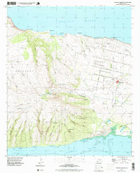
1993 · Molokai Airport
USGS Topo · 1:24,000
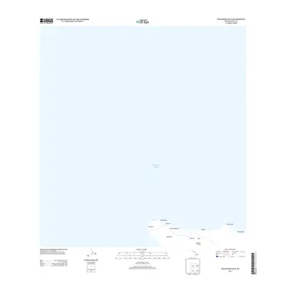
2013 · Ilio Point OE N
USGS Topo · 1:24,000
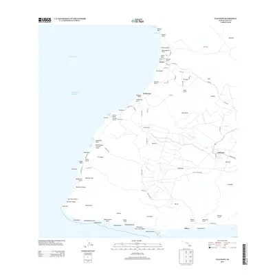
2013 · Ilio Point
USGS Topo · 1:24,000