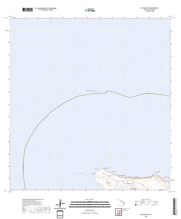
2024 Map of Ilio Point OE N
USGS Topo · Published 2024About this map
Moloka'i's northwestern shoreline meets the turbulent waters of the Kaiwi Channel in this detailed topographic study. The landscape is defined by its coastal prominence, anchored by the sharp protrusion of 'Īlio Point and the neighboring Mokio Point. This is a terrain of named coastal features and depressions, where traditional identifiers like Kealapūpūakiha and Kahenawai mark the land near the sea. The geography is etched by drainage patterns such as Kawākiu Gulch, which cuts through the elevation toward the south. The survey highlights a largely undeveloped coastal margin where place names like Anapuka and Waiakanapō reflect a deep connection to the local environment and its maritime interface. The lack of modern infrastructure on this specific quadrangle emphasizes the preservation of original place names and the natural coastal profile of the island's west end.
Find a feature on this map
14 named features on this map. Tap any name to fly to it.
Don’t see what you’re looking for? This feature index may not catch every label — zoom into the map to look around manually.
Map Details
Editions of this 2024 Ilio Point OE N Map
This is the sole edition of this map. No revisions or reprints were ever made.
Other maps of this area

1952 · Molokai Airport
USGS Topo · 1:24,000
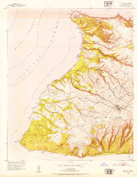
1952 · Ilio Point
USGS Topo · 1:24,000

1954 · Maui
USGS Topo · 1:250,000

1966 · Maui
USGS Topo · 1:250,000
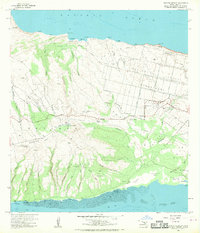
1968 · Molokai Airport
USGS Topo · 1:24,000
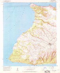
1968 · Ilio Point
USGS Topo · 1:24,000

1974 · Maui
USGS Topo · 1:250,000
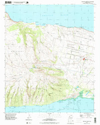
1993 · Molokai Airport
USGS Topo · 1:24,000
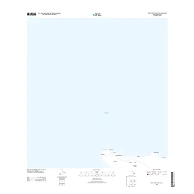
2013 · Ilio Point OE N
USGS Topo · 1:24,000
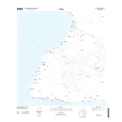
2013 · Ilio Point
USGS Topo · 1:24,000