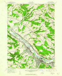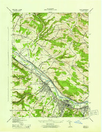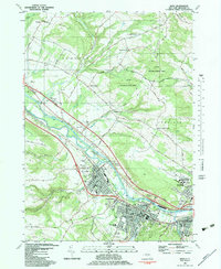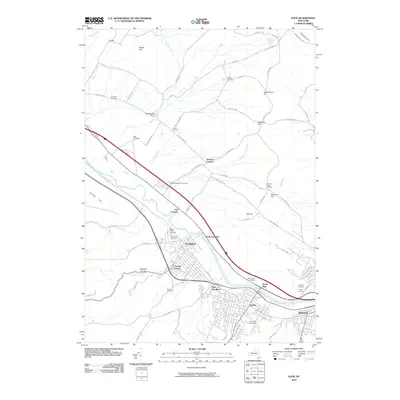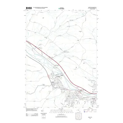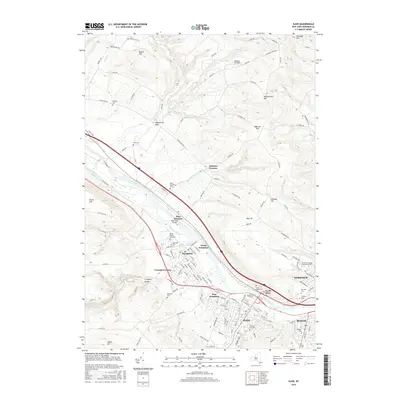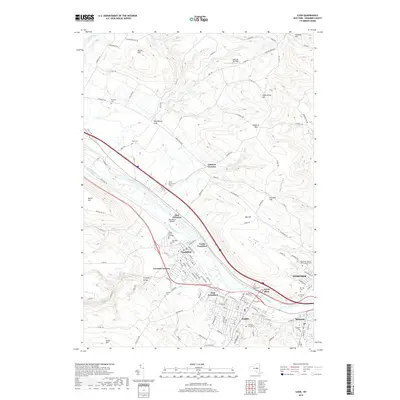
1949 Map of Ilion
USGS Topo · Published 1949About this map
The industrial corridor of the Mohawk Valley is captured here during the late 1940s, anchored by the dense urban layout of Ilion and the neighboring village of Frankfort. The Mohawk River and the Erie Canal serve as the primary geographical spine, flanked by the New York Central River Division railroad. This survey illustrates a landscape transitioning from the concentrated manufacturing centers along the water to the agricultural uplands of Schuyler and German Flatts. Notable landmarks of local importance include the Stone Schoolhouse, Little Red Schoolhouse, and an Airway Beacon perched on the heights of Steuben Hill. Numerous family-named corners and burial grounds like Budlong Cem and Rose Cem provide essential data for genealogists tracing the early development of Herkimer County settlements like East Schuyler and North Frankfort.
Find a feature on this map
79 named features on this map. Tap any name to fly to it.
Don’t see what you’re looking for? This feature index may not catch every label — zoom into the map to look around manually.
Map Details
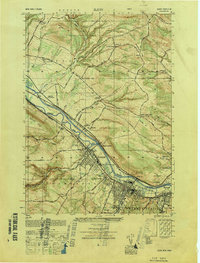
Editions of this 1949 Ilion Map
This is the sole edition of this map. No revisions or reprints were ever made.
Historical Maps of German Flatts Through Time
9 maps found