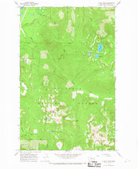
1966 Map of Illabot Peaks
USGS Topo · Published 1968About this map
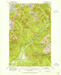
Mt Baker National Forest dominates this mid-1960s terrain, where the high alpine environment of the North Cascades is mapped in meticulous detail. The landscape is defined by the soaring heights of Illabot Peaks and Suiattle Mountain, providing a clear look at the drainage patterns of Illabot Creek and its many tributaries like Iron Creek and Bluebell Creek. This survey was conducted just as access to the high country was being formalized through corridors like the Illabot Peaks Road and the Rockport Cascade Road.
Find a feature on this map
29 named features on this map. Tap any name to fly to it.
Don’t see what you’re looking for? This feature index may not catch every label — zoom into the map to look around manually.
Map Details
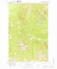
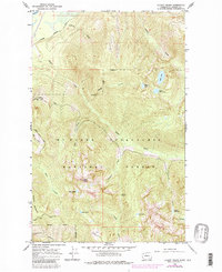
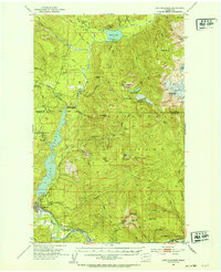
Editions of this 1966 Illabot Peaks Map
4 editions found

Other maps of this area

1899 · Glacier Peak
USGS Topo · 1:125,000

1899 · Stillaguamish
USGS Topo · 1:125,000

1901 · Glacier Peak
USGS Topo · 1:125,000

1901 · Stilaguamish
USGS Topo · 1:125,000

1909 · Mt Baker
USGS Topo · 1:192,000

1915 · Mt. Baker
USGS Topo · 1:250,000
1952 · Lake Shannon
USGS Topo · 1:62,500
1953 · Marblemount
USGS Topo · 1:62,500

1955 · Concrete
USGS Topo · 1:250,000

1958 · Concrete
USGS Topo · 1:250,000