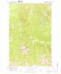
1966 Map of Illabot Peaks
USGS Topo · Published 1979About this map
The Skagit R flows through the northwest corner of this quadrangle, serving as a primary drainage for a network of alpine creeks and high-altitude lakes. Within the Mt Baker National Forest, the topography is defined by the prominent Illabot Peaks and the high saddle at Bettys Pass. The drainage patterns show a complex system of waterways, including Illabot Creek, Iron Creek, and Grade Creek, which descend from glaciated heights toward the river valley below.
Find a feature on this map
31 named features on this map. Tap any name to fly to it.
Don’t see what you’re looking for? This feature index may not catch every label — zoom into the map to look around manually.
Map Details
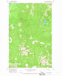
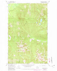
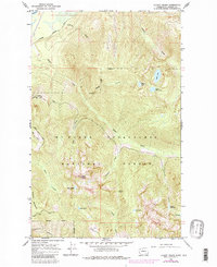
Editions of this 1966 Illabot Peaks Map
4 editions found
Other maps of this area

1899 · Glacier Peak
USGS Topo · 1:125,000

1899 · Stillaguamish
USGS Topo · 1:125,000

1901 · Glacier Peak
USGS Topo · 1:125,000

1901 · Stilaguamish
USGS Topo · 1:125,000

1909 · Mt Baker
USGS Topo · 1:192,000

1915 · Mt. Baker
USGS Topo · 1:250,000

1952 · Lake Shannon
USGS Topo · 1:62,500

1953 · Marblemount
USGS Topo · 1:62,500

1955 · Concrete
USGS Topo · 1:250,000

1958 · Concrete
USGS Topo · 1:250,000