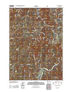
2011 Map of Illahe
USGS Topo · Published 2011About this map
Illahe and its historic riverfront infrastructure define this 2011 survey of the southern Oregon coastal mountains. The settlement area along the Rogue River features the Illahe Lodge and the Illahe Cemetery, while the Independence Mine near Billings Creek points to the region's mineral prospecting history. The landscape is characterized by a complex network of National Forest development roads that provide access to high-elevation landmarks such as Bald Knob and Agness Pass.
Find a feature on this map
65 named features on this map. Tap any name to fly to it.
Don’t see what you’re looking for? This feature index may not catch every label — zoom into the map to look around manually.
Map Details
Editions of this 2011 Illahe Map
This is the sole edition of this map. No revisions or reprints were ever made.
Other maps of this area

1899 · Port Orford
USGS Topo · 1:125,000

1903 · Port Orford
USGS Topo · 1:125,000

1954 · Coos Bay
USGS Topo · 1:250,000

1954 · Bone Mountain
USGS Topo · 1:62,500

1954 · Marial
USGS Topo · 1:62,500

1954 · Agness
USGS Topo · 1:62,500

1954 · Powers
USGS Topo · 1:62,500

1955 · Medford
USGS Topo · 1:250,000

1957 · Medford
USGS Topo · 1:250,000

1958 · Medford
USGS Topo · 1:250,000