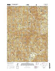
2017 Map of Illahe
USGS Topo · Published 2017About this map
Illahe and Foster Bar sit along a sharp bend of the Rogue River, marking a key settlement point in this isolated stretch of the Siskiyou National Forest. The landscape is defined by its dramatic elevation changes, climbing from the riverbanks up to Panther Ridge and Bald Knob. Evidence of local history and genealogy is anchored at the Foster-Illahe Cem, which overlooks the river valley. To the north, the terrain transitions into the S Fork Coquille River drainage, featuring the Coquille River Falls and the high-elevation Eden Ridge. Numerous forest development roads, such as Agness Illahe Rd, wind through the timbered slopes, connecting the river corridor with interior landmarks like Agness Pass and Azalea Lake. This map captures the intricate drainage system of the area, including Billings Cr and Foster Cr, which have shaped the rugged geography of the Curry and Coos county line.
Find a feature on this map
78 named features on this map. Tap any name to fly to it.
Don’t see what you’re looking for? This feature index may not catch every label — zoom into the map to look around manually.
Map Details
Editions of this 2017 Illahe Map
This is the sole edition of this map. No revisions or reprints were ever made.
Other maps of this area
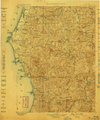
1899 · Port Orford
USGS Topo · 1:125,000
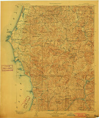
1903 · Port Orford
USGS Topo · 1:125,000
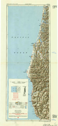
1954 · Coos Bay
USGS Topo · 1:250,000
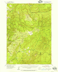
1954 · Bone Mountain
USGS Topo · 1:62,500
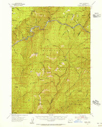
1954 · Marial
USGS Topo · 1:62,500
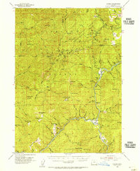
1954 · Agness
USGS Topo · 1:62,500
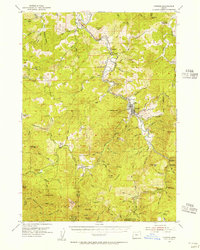
1954 · Powers
USGS Topo · 1:62,500

1955 · Medford
USGS Topo · 1:250,000
1957 · Medford
USGS Topo · 1:250,000
1958 · Medford
USGS Topo · 1:250,000