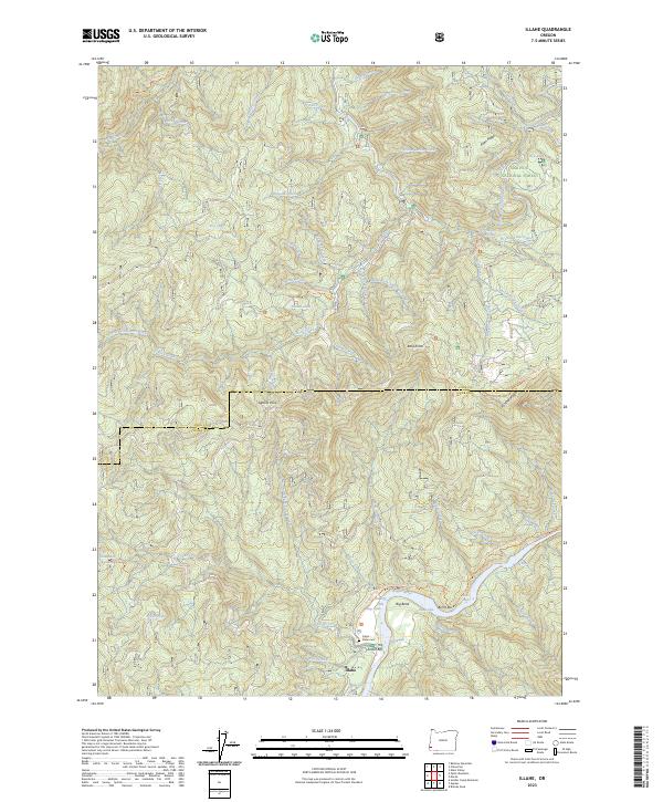
2023 Map of Illahe
USGS Topo · Published 2023About this map
Illahe sits at the southern bend of the Rogue Wild and Scenic River, serving as a central point for the remote terrain along the boundary of Coos and Curry counties. This part of the Siskiyou National Forest is defined by sharp topographic shifts between the Wild Rogue Wilderness and prominent ridgelines like Eden Ridge and Panther Ridge. The river corridor provides several landmarks for those tracing local history or river travel, including the Foster Bar landing and Illahe Cemetery. High-elevation water bodies like Sru Lake and Azalea Lake are connected by a network of paths such as the Azalea Lake Trail and the Rogue River National Recreation Trail. In the northern section, the Coquille River Falls marks the drainage of Drowned Out Creek, illustrating the complex hydrology of this mountainous region.
Find a feature on this map
69 named features on this map. Tap any name to fly to it.
Don’t see what you’re looking for? This feature index may not catch every label — zoom into the map to look around manually.
Map Details
Editions of this 2023 Illahe Map
This is the sole edition of this map. No revisions or reprints were ever made.
Other maps of this area

1899 · Port Orford
USGS Topo · 1:125,000

1903 · Port Orford
USGS Topo · 1:125,000

1954 · Coos Bay
USGS Topo · 1:250,000

1954 · Bone Mountain
USGS Topo · 1:62,500

1954 · Marial
USGS Topo · 1:62,500

1954 · Agness
USGS Topo · 1:62,500

1954 · Powers
USGS Topo · 1:62,500

1955 · Medford
USGS Topo · 1:250,000

1957 · Medford
USGS Topo · 1:250,000

1958 · Medford
USGS Topo · 1:250,000