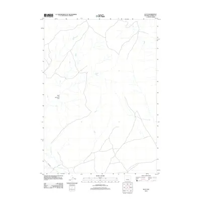
2012 Map of Illco
USGS Topo · Published 2012About this map
33 Mile Rd cuts through the southern portion of this Natrona County landscape, providing the primary arterial access through an area defined by its drainage systems. The hydrology of the region is centered on the confluence and courses of Casper Cr, including its tributary N Fork Casper Cr, which meander through the high plains terrain. Further north, the North Fork Twentymile Draw establishes a distinct seasonal drainage pattern, illustrating the water-scarce geography typical of the Wyoming interior during the early 21st century. This survey records a sparse, open landscape where topography is dictated by these intermittent watercourses and the simple infrastructure of rural roads that support the ranching or energy interests of the county.
Find a feature on this map
4 named features on this map. Tap any name to fly to it.
Don’t see what you’re looking for? This feature index may not catch every label — zoom into the map to look around manually.
Map Details
Editions of this 2012 Illco Map
This is the sole edition of this map. No revisions or reprints were ever made.
Other maps of this area
1950 · Emigrant Gap NE
USGS Topo · 1:24,000
1951 · The Reefs
USGS Topo · 1:24,000
1952 · Bishop
USGS Topo · 1:24,000

1955 · Arminto
USGS Topo · 1:250,000

1955 · Casper
USGS Topo · 1:250,000

1958 · Casper
USGS Topo · 1:250,000

1958 · Arminto
USGS Topo · 1:250,000
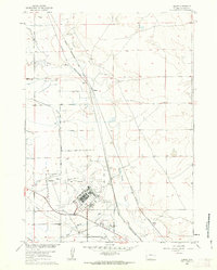
1960 · Bishop
USGS Topo · 1:24,000
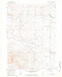
1960 · Emigrant Gap NE
USGS Topo · 1:24,000
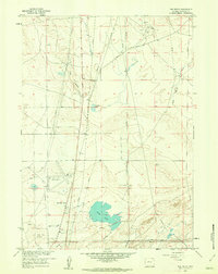
1961 · The Reefs
USGS Topo · 1:24,000