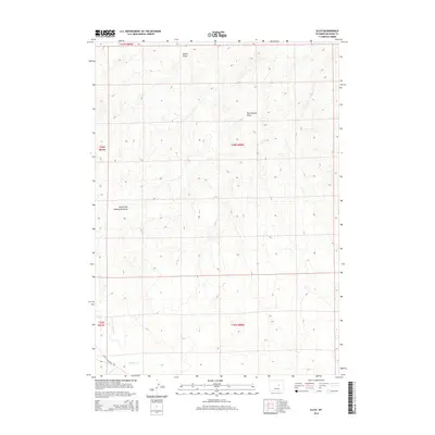
2015 Map of Illco
USGS Topo · Published 2015About this map
Thirty Three Mile Rd crosses the southwestern corner of this high-plains landscape, providing one of the few established routes through a region defined by its complex drainage network. The terrain is shaped by several seasonal watercourses, most notably Casper Cr and its northern branch, N Fork Casper Cr, which meander through the southern townships. To the north, the geography is dictated by the extensive reach of Twentymile Draw and its local tributary, North Fork Twentymile Draw. These ephemeral draws and the nearby Smith Draw illustrate the subtle but critical importance of water management and topography in the arid Wyoming interior. The map clearly delineates the cadastral grid across multiple townships, including T36N R80W and T35N R80W, reflecting the organized survey system used to divide these open lands.
Find a feature on this map
11 named features on this map. Tap any name to fly to it.
Don’t see what you’re looking for? This feature index may not catch every label — zoom into the map to look around manually.
Map Details
Editions of this 2015 Illco Map
This is the sole edition of this map. No revisions or reprints were ever made.
Other maps of this area
1950 · Emigrant Gap NE
USGS Topo · 1:24,000
1951 · The Reefs
USGS Topo · 1:24,000
1952 · Bishop
USGS Topo · 1:24,000

1955 · Arminto
USGS Topo · 1:250,000

1955 · Casper
USGS Topo · 1:250,000

1958 · Casper
USGS Topo · 1:250,000

1958 · Arminto
USGS Topo · 1:250,000
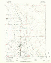
1960 · Bishop
USGS Topo · 1:24,000
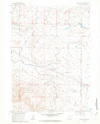
1960 · Emigrant Gap NE
USGS Topo · 1:24,000
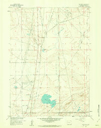
1961 · The Reefs
USGS Topo · 1:24,000