Loading...
Loading map...2024 Map of Illiana Heights
USGS Topo · Published 2024About this map
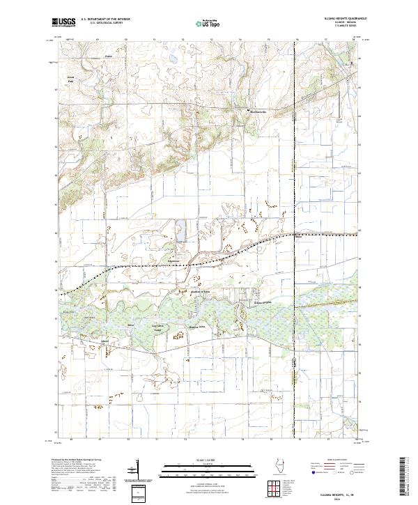
The Kankakee River winds through the southern reaches of this landscape, anchoring a series of riverfront developments and recreational spots. Small settlements like Illiana Heights, Garden of Eden, and Shadow Lawn line the northern bank, while Log Cabin Camp and Ahern sit just to the south. This area is defined by its transition from the agricultural plains of Kankakee County, Illinois, into Lake County, Indiana, marked by the prominent north-south state line.
Find a feature on this map
75 named features on this map. Tap any name to fly to it.
Don’t see what you’re looking for? This feature index may not catch every label — zoom into the map to look around manually.
Map Details
Date Portrayed2024
Date Published2024
PublisherU.S. Geological Survey
Map TypeTopographic
Scale1:24000
Physical Dimensions24 x 29 inches
Editions of this 2024 Illiana Heights Map
This is the sole edition of this map. No revisions or reprints were ever made.
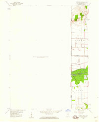
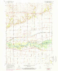
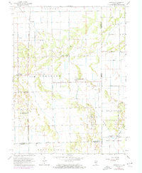
Historical Maps of Ahern Through Time
8 maps found
Featured Locations
Source Details
SourceU.S. Geological Survey
CopyrightPublic Domain