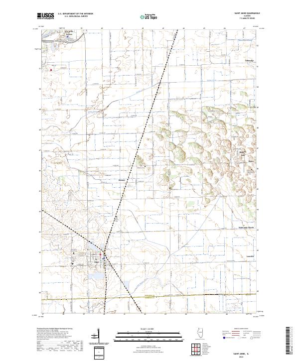
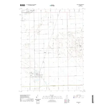
2024 Map of Saint Anne
USGS Topo · Published 2024About this map
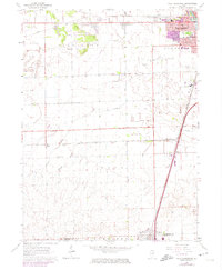
St. Anne serves as the primary hub of this eastern Illinois landscape, situated just north of the Kankakee and Iroquois County line. The area's spiritual and community history is reflected in numerous burial grounds, including the Saint Anne Catholic Cem and Saint Anne Township Cem, which speak to the long-standing settlement of the region. To the north, the Kankakee River shapes the development of Sun River Terrace, while smaller agricultural hamlets like Wichert and Leesville are connected by a rigid grid of rural roads.
Find a feature on this map
61 named features on this map. Tap any name to fly to it.
Don’t see what you’re looking for? This feature index may not catch every label — zoom into the map to look around manually.
Map Details
Editions of this 2024 Saint Anne Map
This is the sole edition of this map. No revisions or reprints were ever made.
Historical Maps of Hopkins Park Through Time
26 maps found
1959 Momence NE
Kankakee County, IL
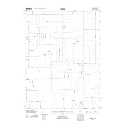
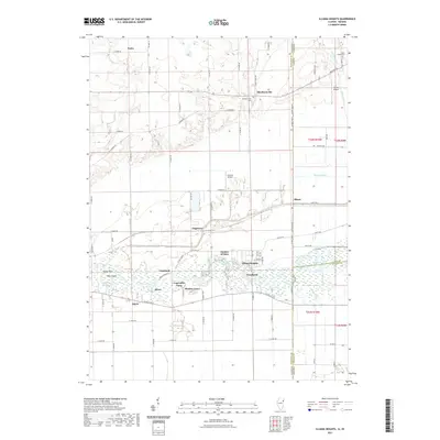
1963 Illiana Heights
Kankakee County, IL
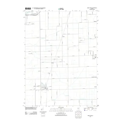
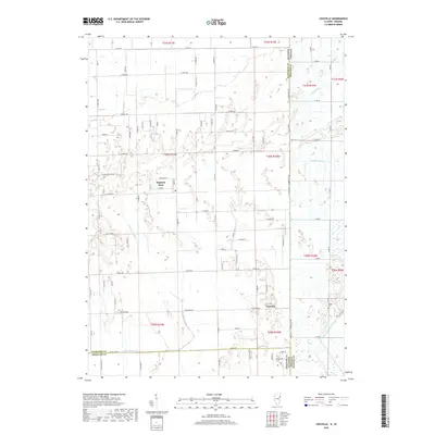
1963 Leesville
Kankakee County, IL
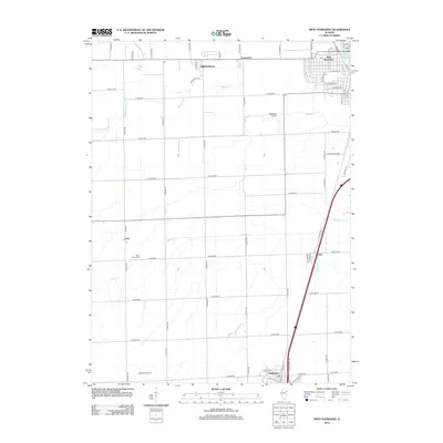
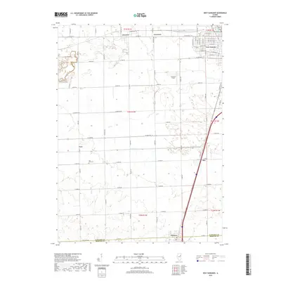
1964 West Kankakee
Kankakee County, IL
2010 Illiana Heights
Kankakee County, IL
2010 Leesville
Kankakee County, IL
2012 Illiana Heights
Kankakee County, IL
2012 Leesville
Kankakee County, IL
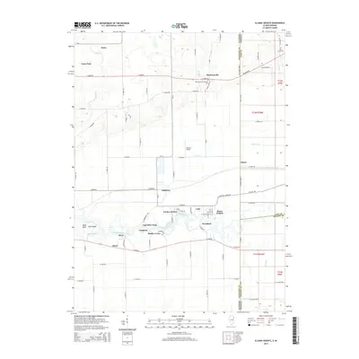
2012 Saint Anne
Kankakee County, IL
2012 West Kankakee
Kankakee County, IL
2015 Illiana Heights
Kankakee County, IL
2015 Leesville
Kankakee County, IL
2015 Saint Anne
Kankakee County, IL
2015 West Kankakee
Kankakee County, IL
2018 Illiana Heights
Kankakee County, IL
2018 Leesville
Kankakee County, IL
2018 Saint Anne
Kankakee County, IL
2018 West Kankakee
Kankakee County, IL
2021 Illiana Heights
Kankakee County, IL
2021 Leesville
Kankakee County, IL
2021 Saint Anne
Kankakee County, IL
2021 West Kankakee
Kankakee County, IL
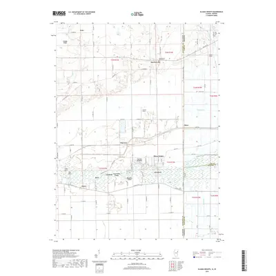
2024 Illiana Heights
Kankakee County, IL
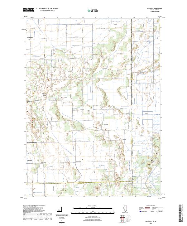
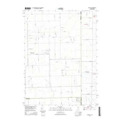
2024 Leesville
Kankakee County, IL
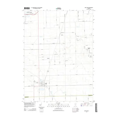
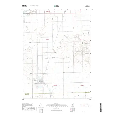
2024 Saint Anne
Kankakee County, IL
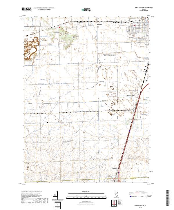
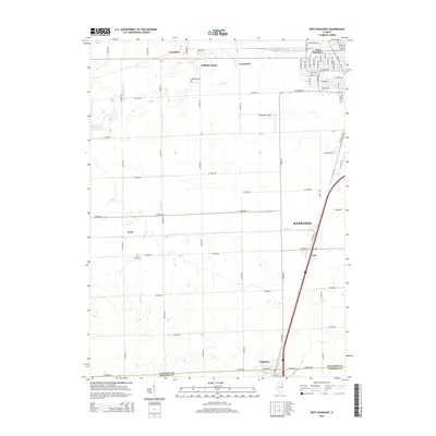
2024 West Kankakee
Kankakee County, IL