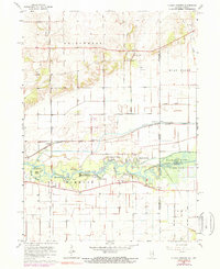
1963 Map of Illiana Heights
USGS Topo · Published 1974About this map
The Illinois Indiana border defines this 1963 landscape, where the Kankakee River winds through a series of islands and recreational developments. Along the river’s southern banks, small communities and seasonal retreats like Garden of Eden, Log Cabin Camp, and Shadow Lawn illustrate the mid-century character of this riparian corridor. The area north of the river is a heavily engineered agricultural plain, crisscrossed by an extensive drainage network including Singleton Ditch and Central Ditch.
Find a feature on this map
41 named features on this map. Tap any name to fly to it.
Don’t see what you’re looking for? This feature index may not catch every label — zoom into the map to look around manually.
Map Details
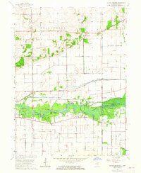
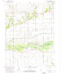
Editions of this 1963 Illiana Heights Map
3 editions found
Other maps of this area

1922 · Momence
USGS Topo · 1:62,500

1924 · Momence
USGS Topo · 1:62,500

1949 · Crete
USGS Topo · 1:62,500

1953 · Beecher West
USGS Topo · 1:24,000

1953 · Beecher East
USGS Topo · 1:24,000

1953 · Lowell
USGS Topo · 1:24,000

1953 · Chicago
USGS Topo · 1:250,000

1957 · Chicago
USGS Topo · 1:250,000

1959 · Schneider
USGS Topo · 1:24,000
1959 · Momence NE
USGS Topo · 1:24,000