
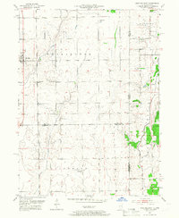
1953 Map of Beecher East
USGS Topo · Published 1955About this map
Washington and Yellowhead townships define this agricultural landscape along the Illinois-Indiana border during the early 1950s. The village of Beecher stands as a primary hub, situated along the Chicago and Eastern Illinois railroad line, while the Chicago Milwaukee St Paul and Pacific cuts through the western section near Polk. The terrain is drained by meandering watercourses such as Trim Creek and Pike Creek, with the isolated Eagle Lake appearing to the north.
Find a feature on this map
24 named features on this map. Tap any name to fly to it.
Don’t see what you’re looking for? This feature index may not catch every label — zoom into the map to look around manually.
Map Details
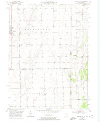
Editions of this 1953 Beecher East Map
3 editions found
Other maps of this area

1922 · Momence
USGS Topo · 1:62,500

1924 · Momence
USGS Topo · 1:62,500

1929 · Dyer
USGS Topo · 1:24,000

1930 · Dyer
USGS Topo · 1:24,000

1930 · Steger
USGS Topo · 1:24,000

1949 · Crete
USGS Topo · 1:62,500

1953 · St. John
USGS Topo · 1:24,000
1953 · Steger
USGS Topo · 1:24,000

1953 · Beecher West
USGS Topo · 1:24,000
1953 · Dyer
USGS Topo · 1:24,000