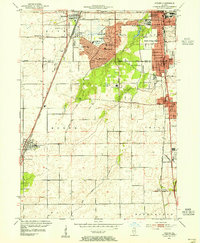
1953 Map of Steger
USGS Topo · Published 1955About this map
Park Forest stands as a prominent post-war planned community, organized around a dense network of schools like Rich High Sch and Mohawk Sch. This mid-century survey reveals the transition of the northern Illinois prairie into a suburban residential landscape, while traditional agricultural patterns persist further south. The convergence of major rail lines, including the Illinois Central and the Elgin Joliet and Eastern, defines the industrial and commuter connectivity of the region. Local landmarks such as Lincoln Fields Sta and Camp Pompeii reflect the diverse uses of the land during this period. For genealogists and local historians, the map documents numerous small schoolhouses like Schrage Sch and burial grounds such as Evergreen Hill Cem, alongside older established settlements including Monee and Crete.
Find a feature on this map
61 named features on this map. Tap any name to fly to it.
Don’t see what you’re looking for? This feature index may not catch every label — zoom into the map to look around manually.
Map Details
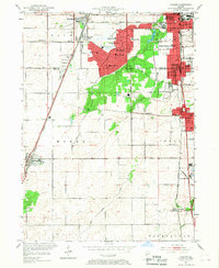
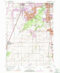
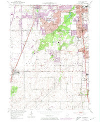
Editions of this 1953 Steger Map
4 editions found
Other maps of this area

1890 · Des Plaines
USGS Topo · 1:62,500

1892 · Calumet
USGS Topo · 1:62,500

1893 · Calumet
USGS Topo · 1:62,500

1894 · Des Plaines
USGS Topo · 1:62,500

1900 · Des Plaines
USGS Topo · 1:62,500

1900 · Calumet
USGS Topo · 1:62,500

1901 · Calumet
USGS Topo · 1:62,500

1901 · Des Plaines
USGS Topo · 1:62,500

1929 · Tinley Park
USGS Topo · 1:24,000

1929 · Calumet City
USGS Topo · 1:24,000